
















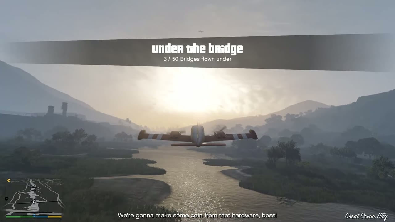
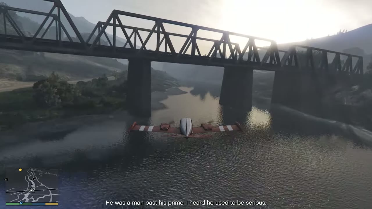
You need any 25 of these for 100%. The list follows the waterways, so you can clear several in one flight. Bridges 1 to 14 run down the Los Santos River in order, and 33 to 39 run along the La Puerta canal.
| Found | # | Area | Bridge | Screenshot |
|---|---|---|---|---|
| 1 | East Vinewood | Road bridge, top of the river. Narrow: bring a small helicopter. | 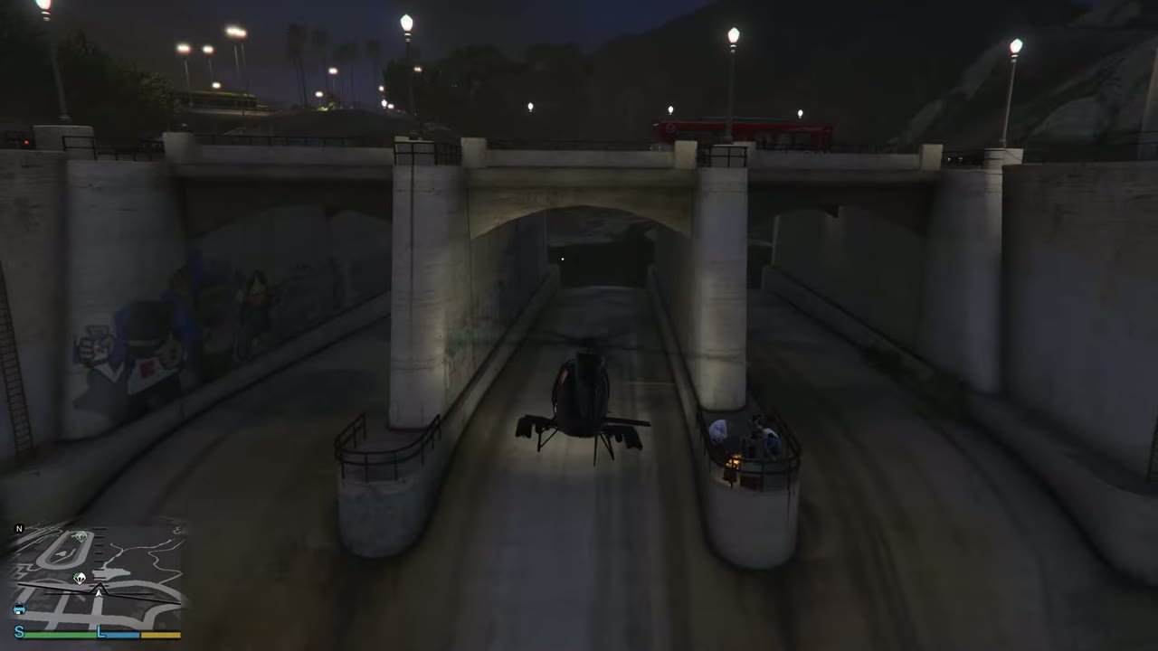 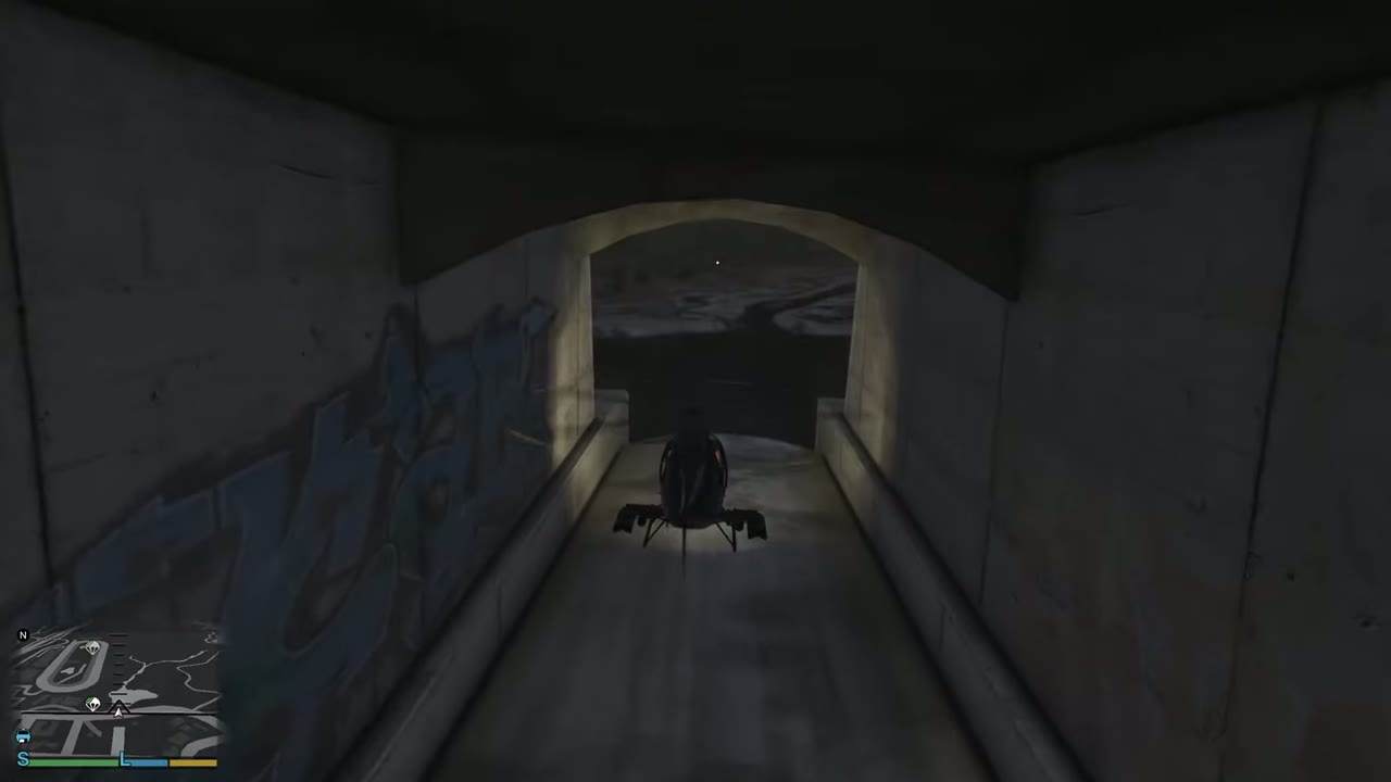 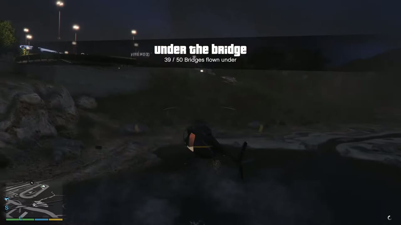 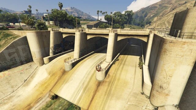 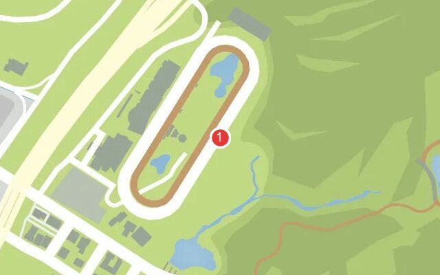 |
|
| 2 | Mirror Park | Road bridge straight after no. 1. Same narrow gap, so stay lined up. | 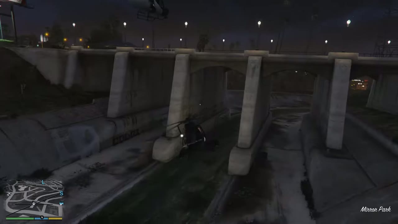 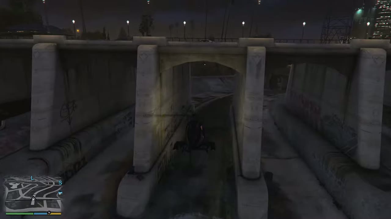 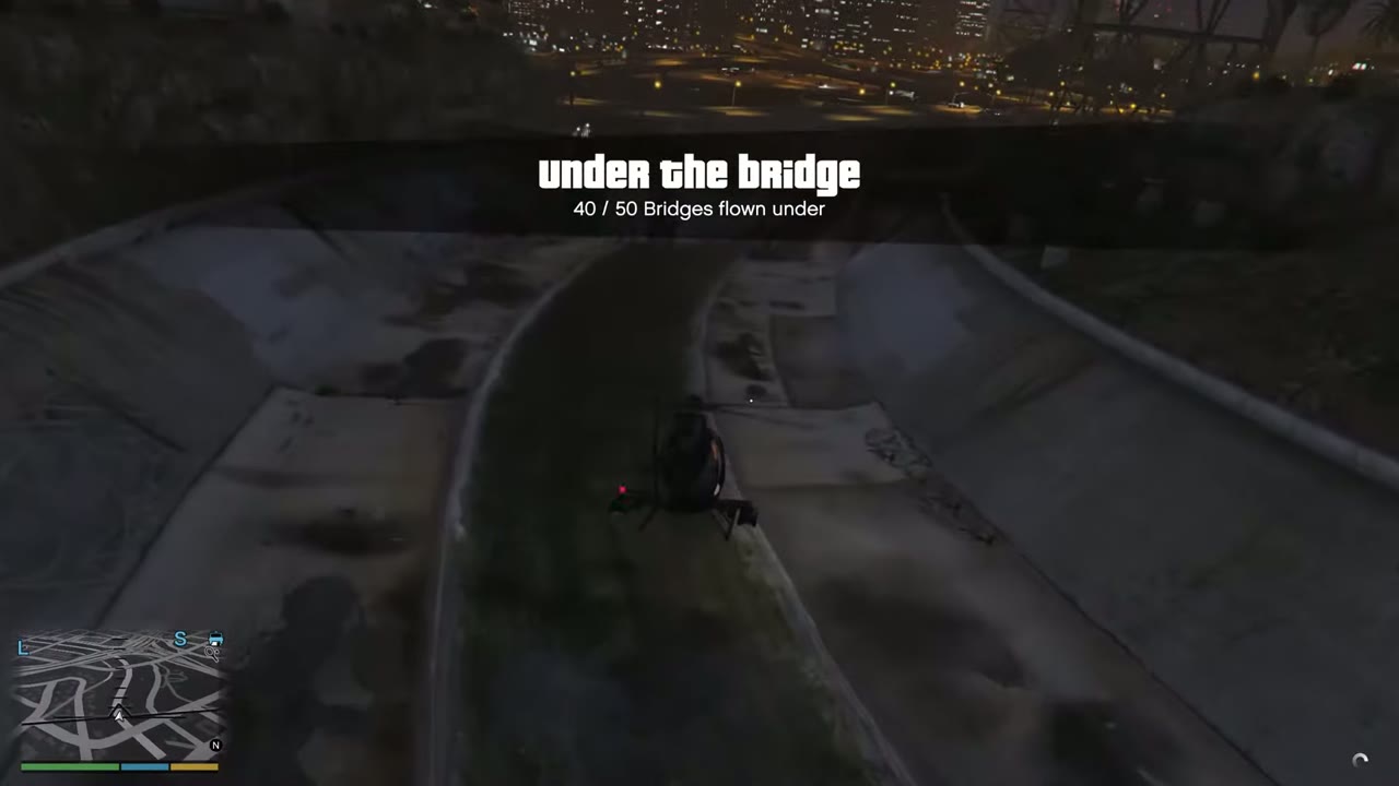 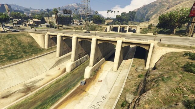 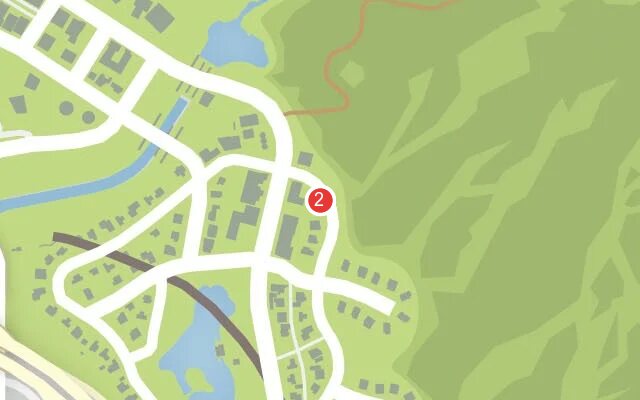 |
|
| 3 | East Vinewood | Road bridge, next one going downriver. | 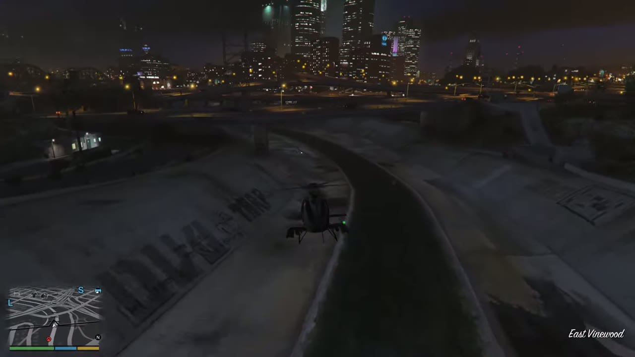 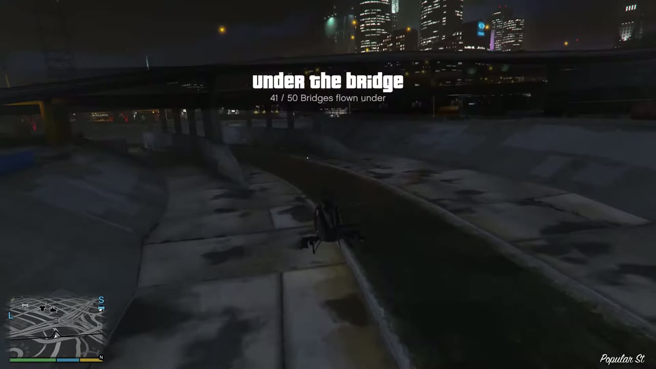 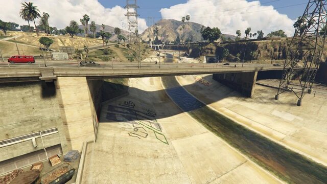 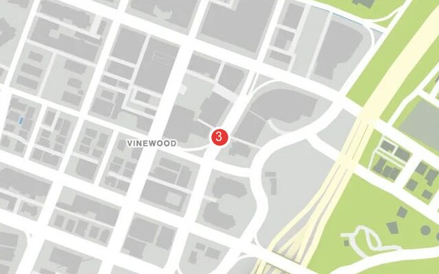 |
|
| 4 | La Mesa | Freeway interchange spanning the river. | 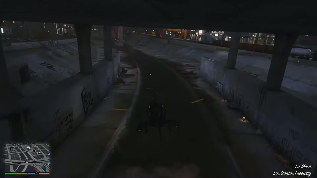 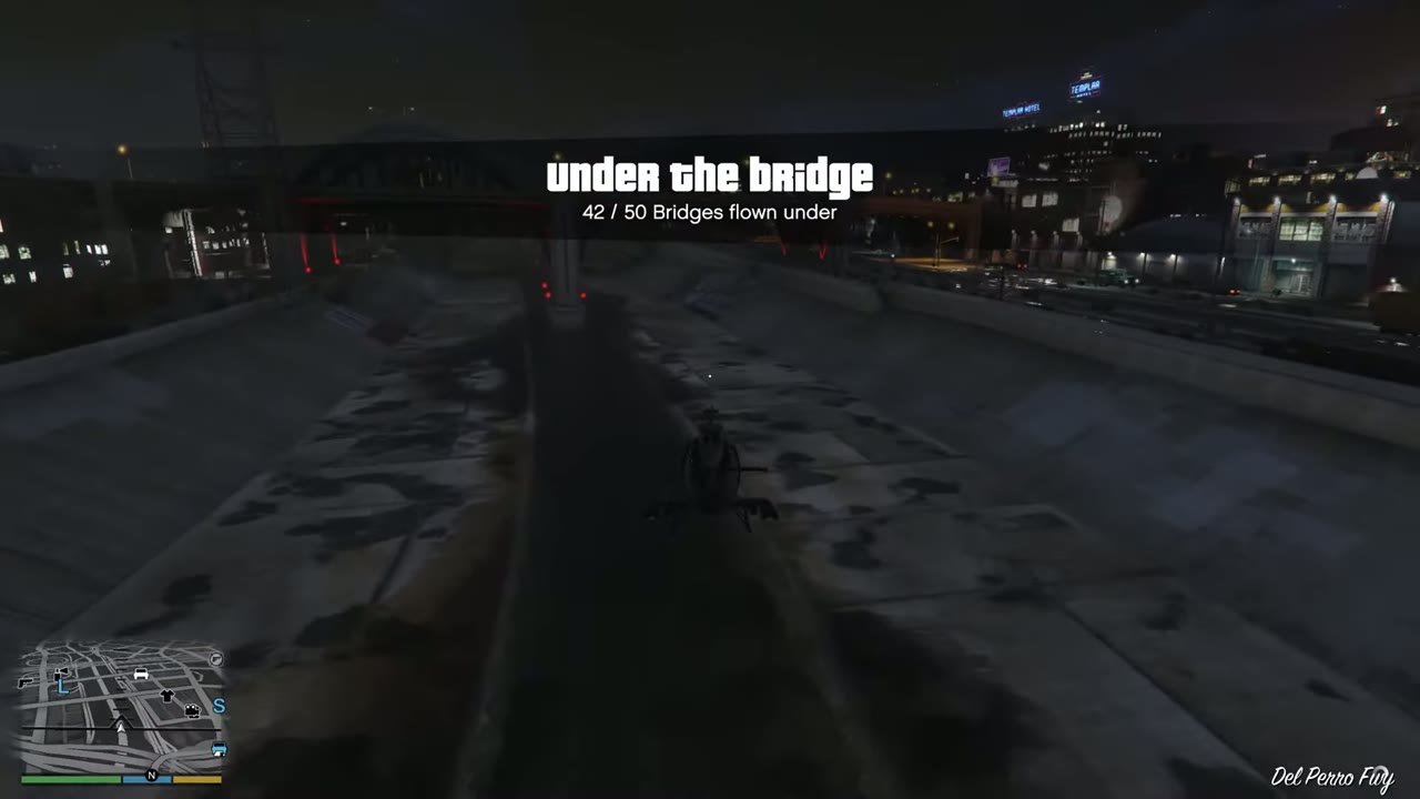 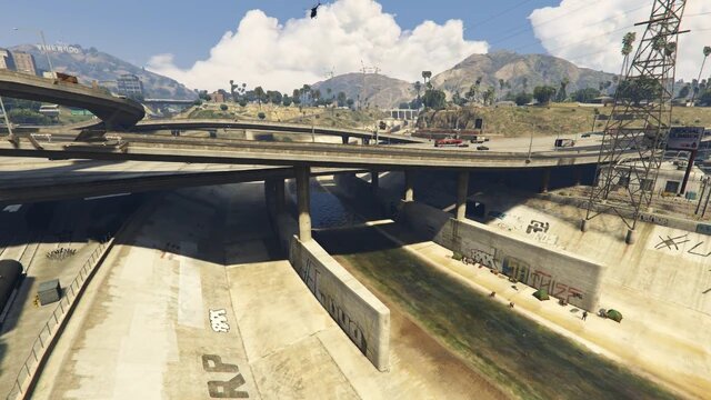 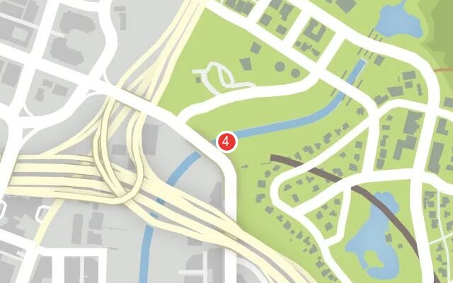 |
|
| 5 | La Mesa | Road bridge over the concrete channel. | 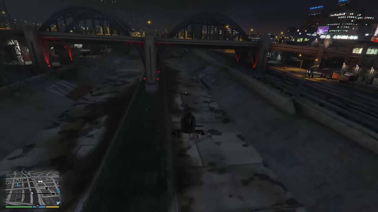 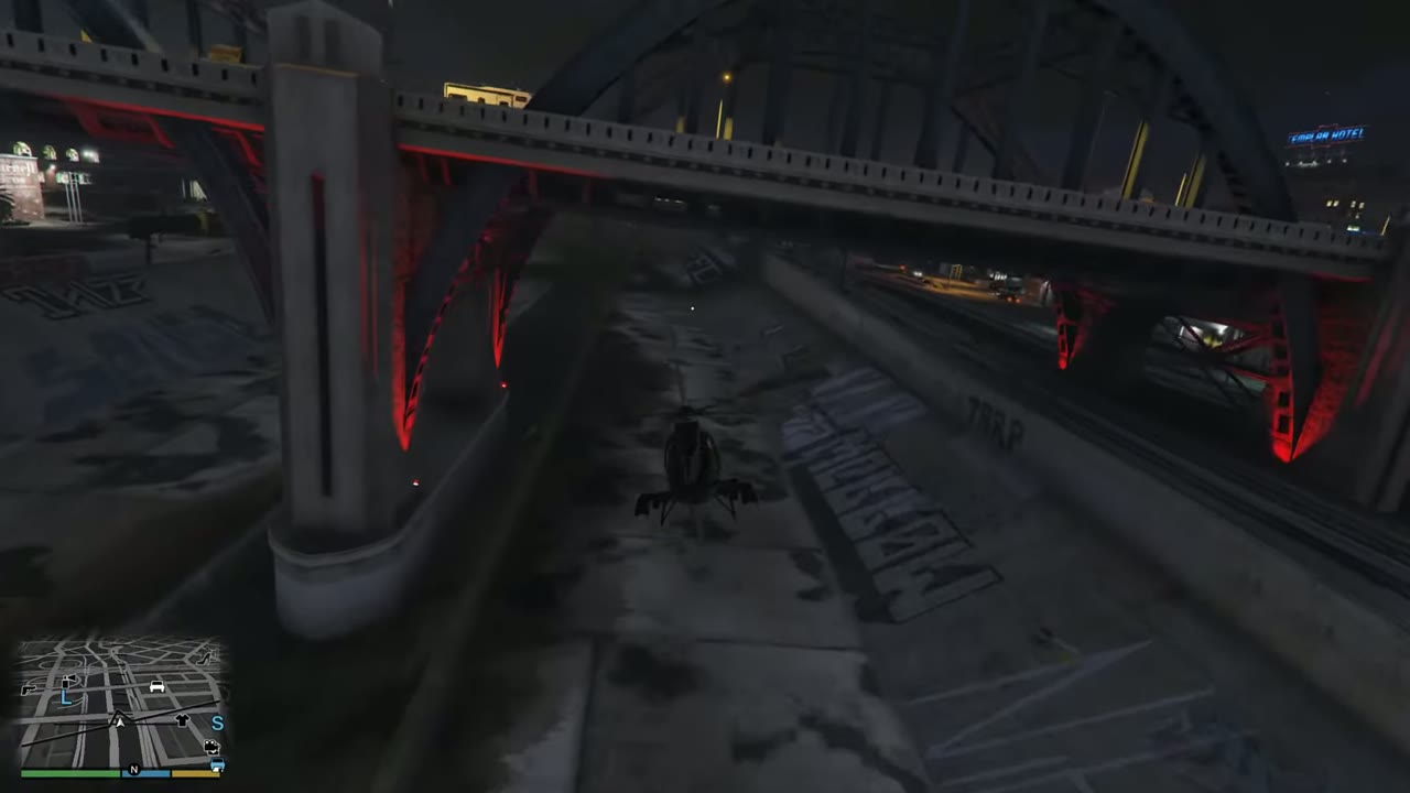 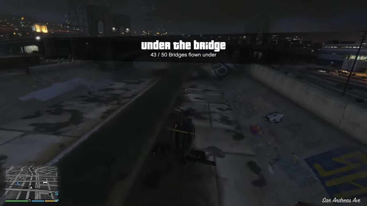 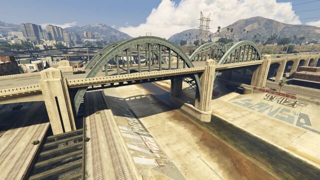 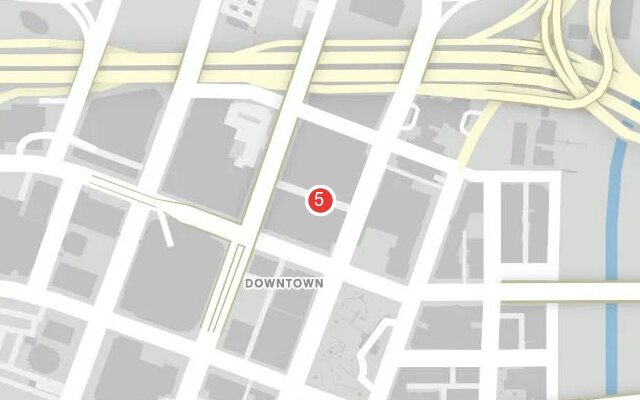 |
|
| 6 | La Mesa | Road bridge, just upriver of the freeway at no. 7. | 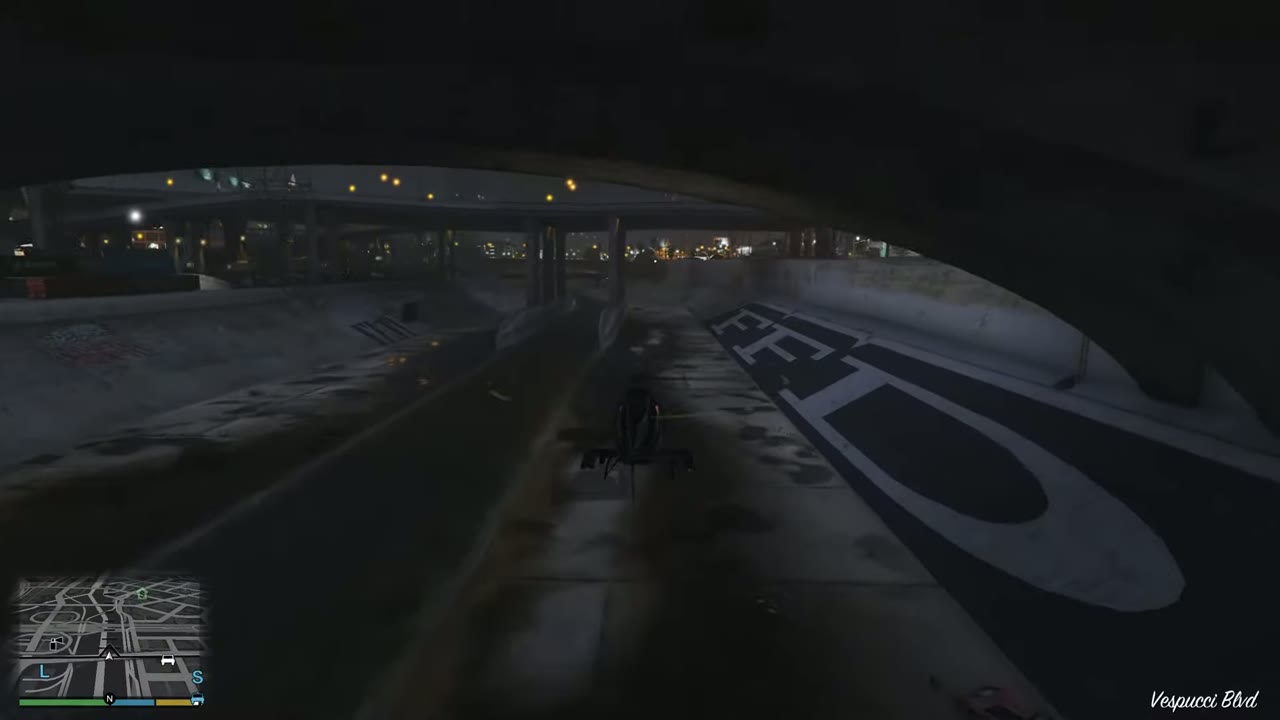 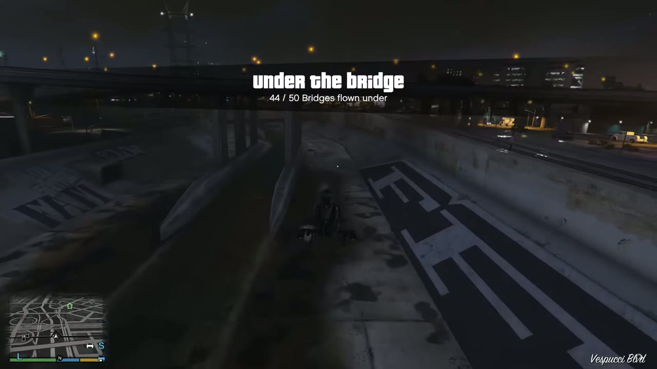 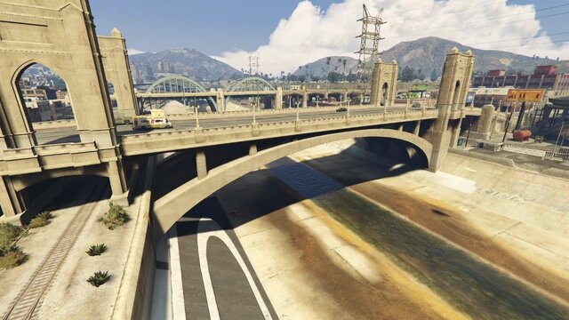 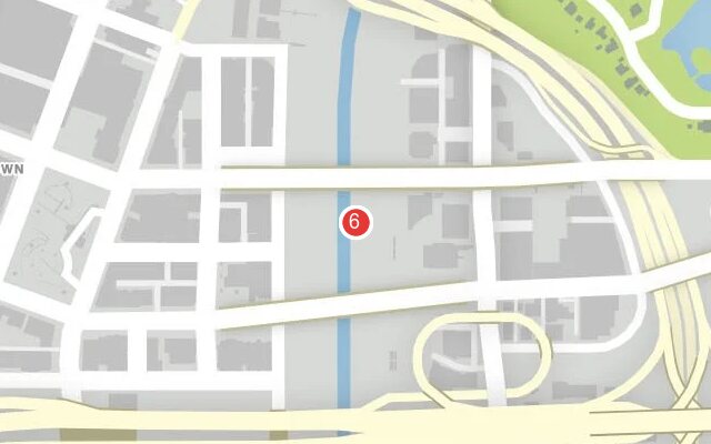 |
|
| 7 | La Mesa | Freeway bridge. Wide deck, long pass. | 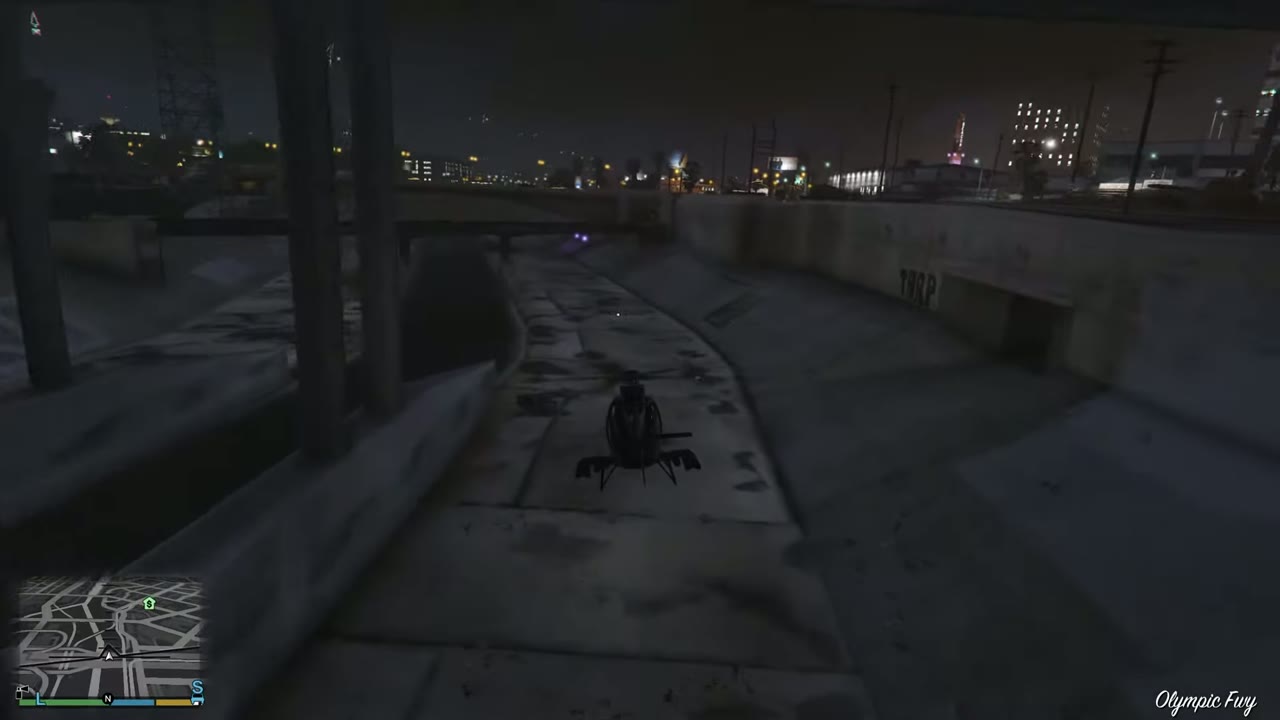 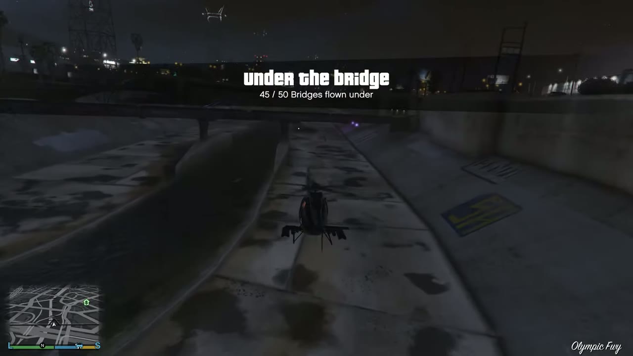 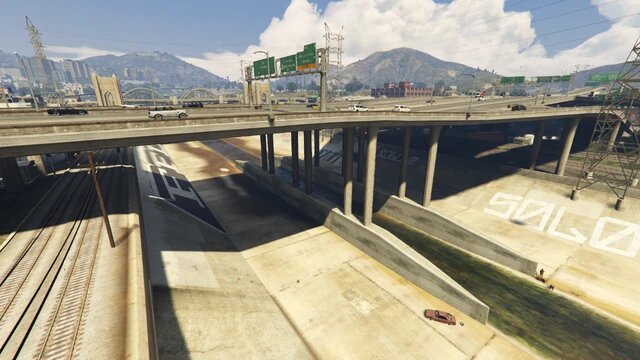 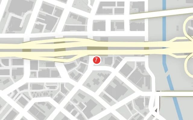 |
|
| 8 | La Mesa | Road bridge where a side channel comes in from the east. | 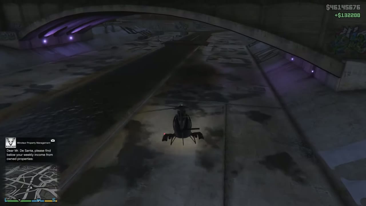 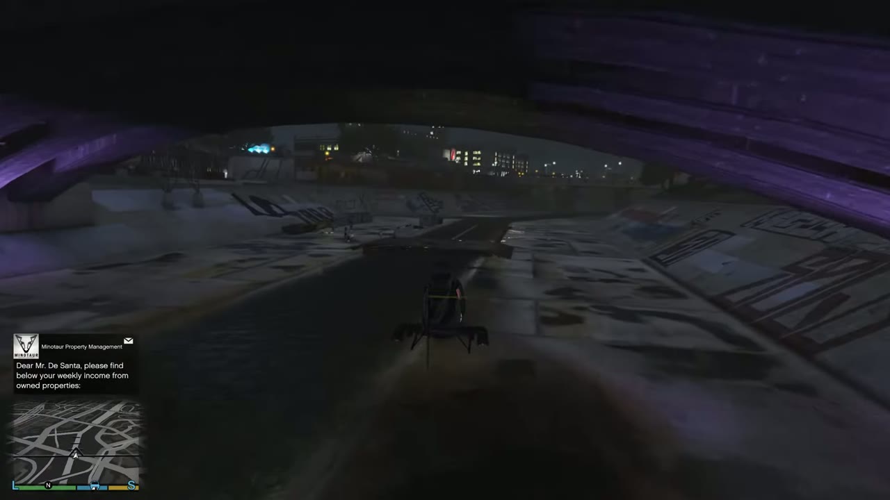 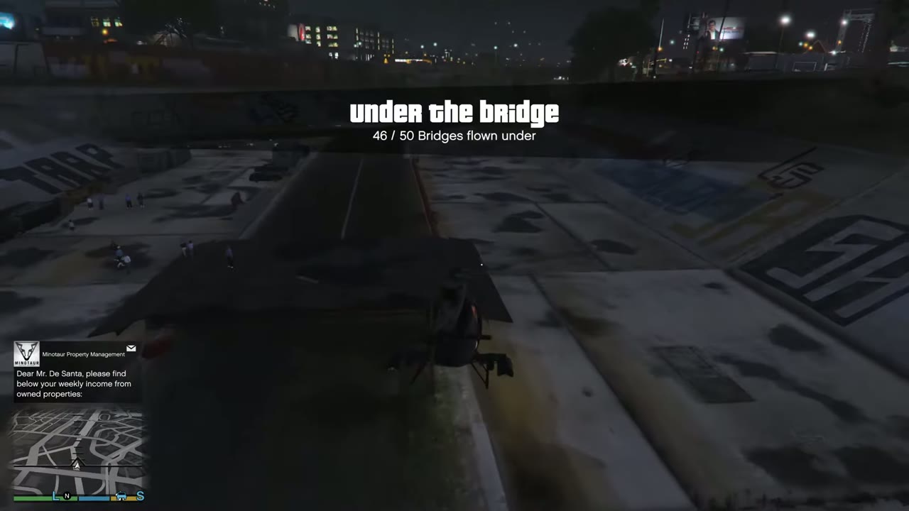 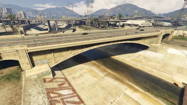 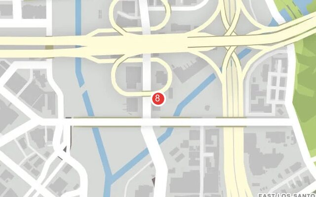 |
|
| 9 | Cypress Flats | Road bridge, heading for the port. | 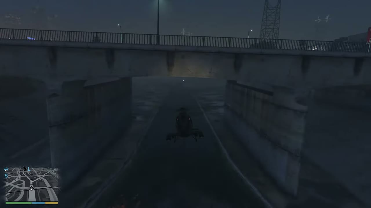 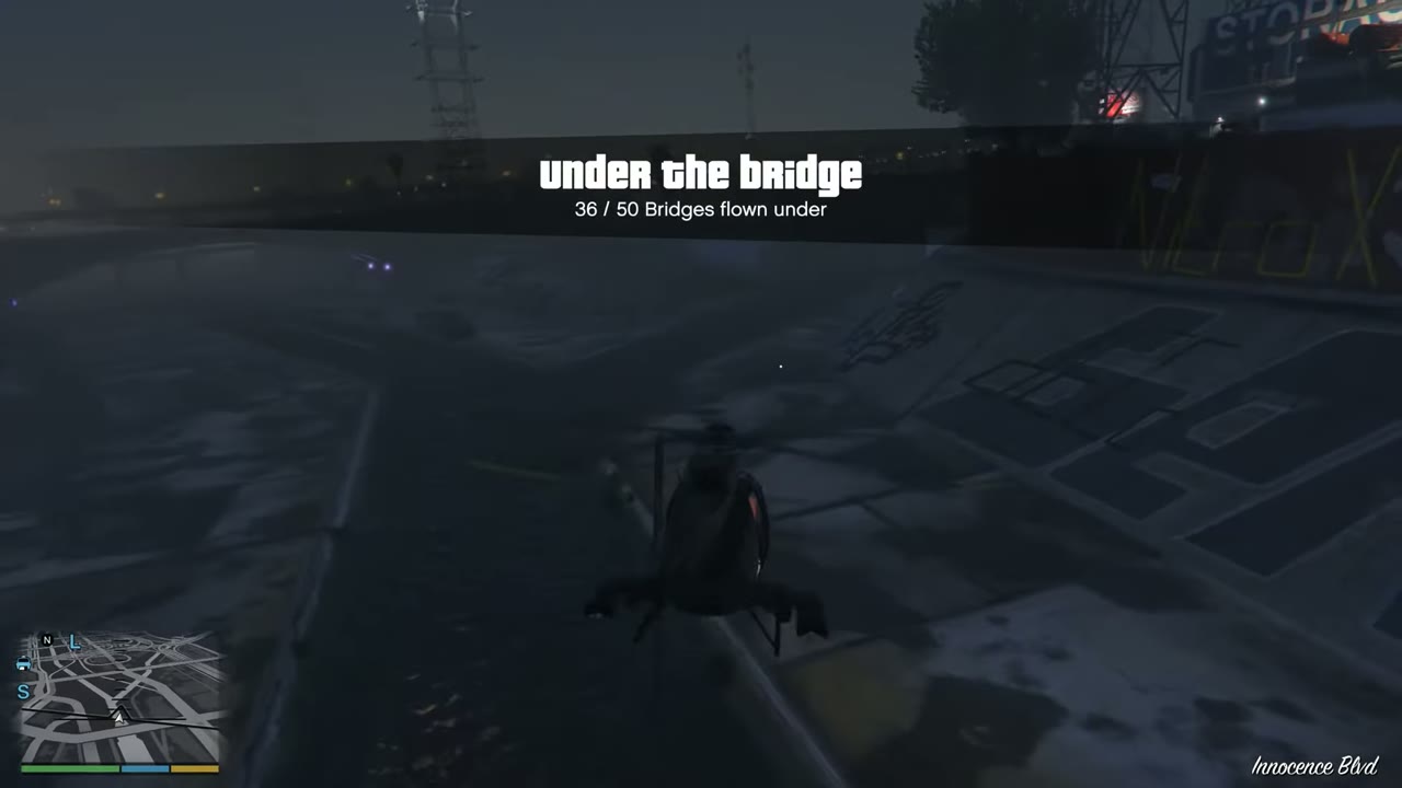 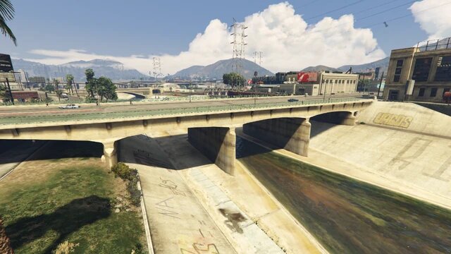 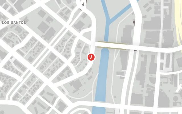 |
|
| 10 | Cypress Flats | Final road bridge on the river proper. | 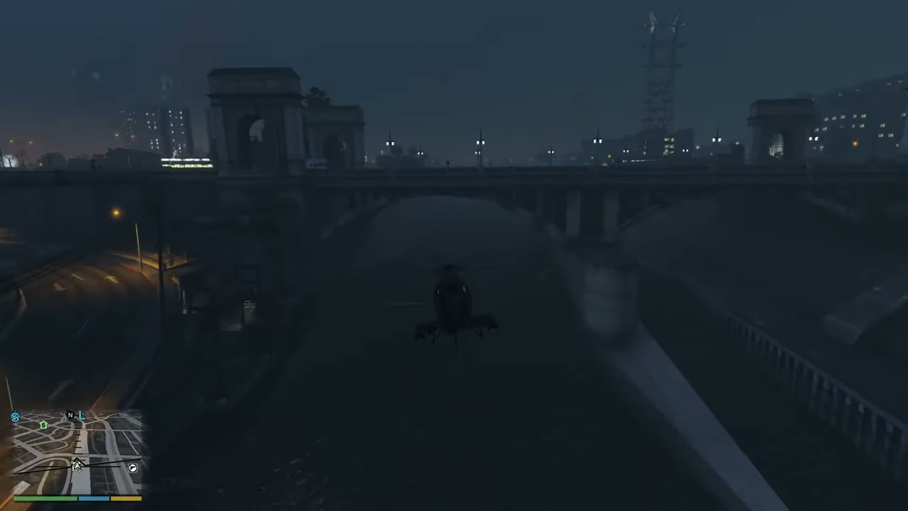 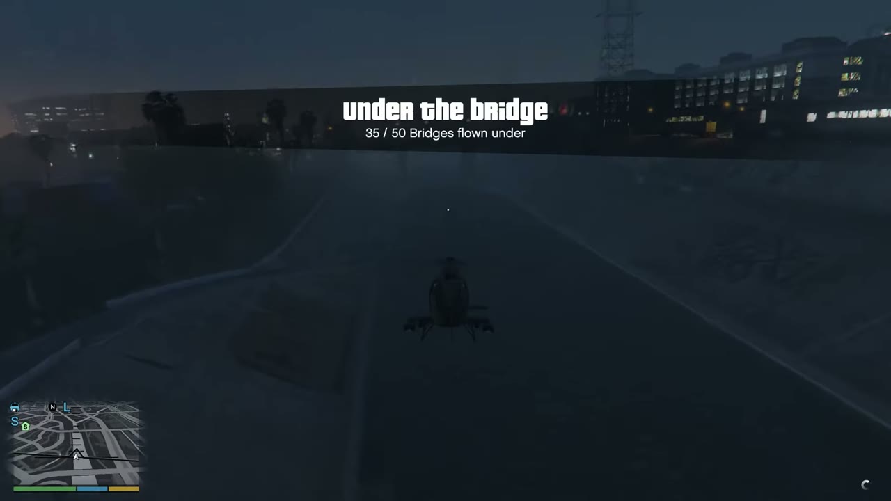 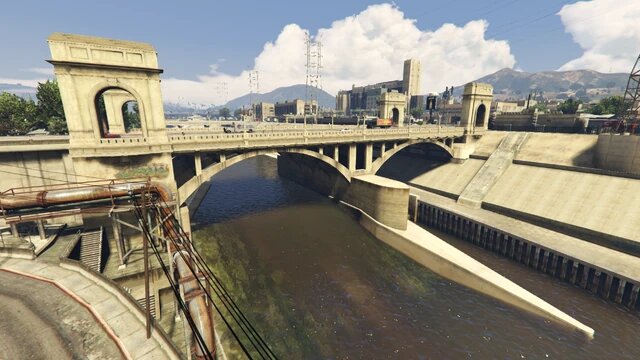 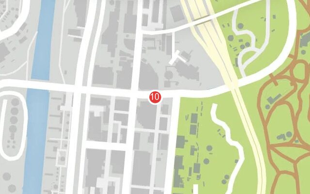 |
|
| 11 | Cypress Flats | Road bridge at the river mouth. Starts a cluster of four. | 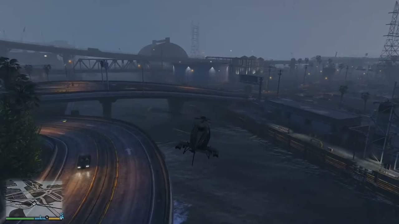 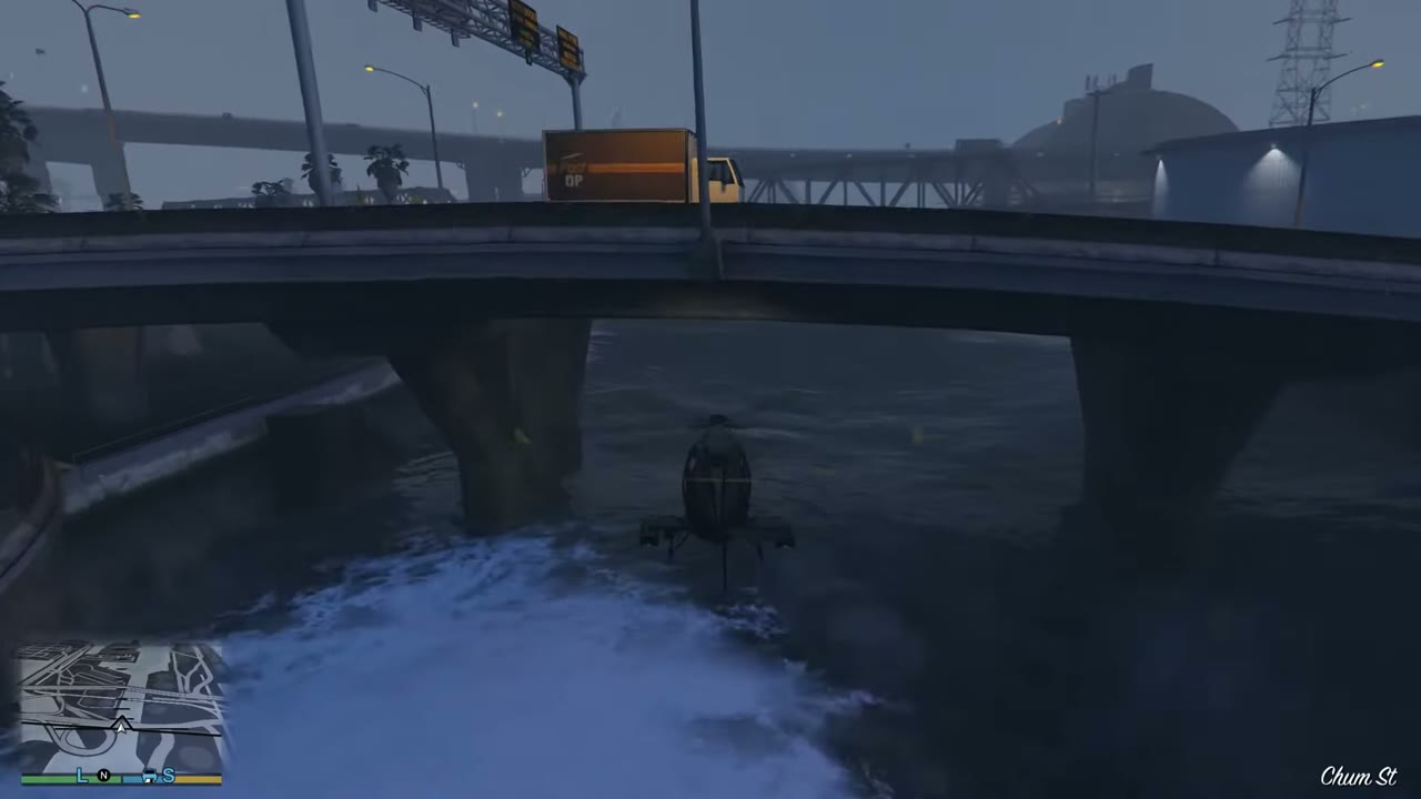 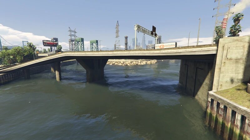 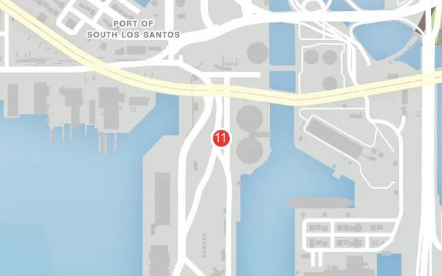 |
|
| 12 | Cypress Flats | Rail bridge in the same cluster. | 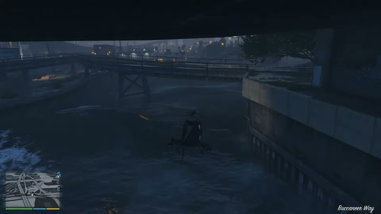 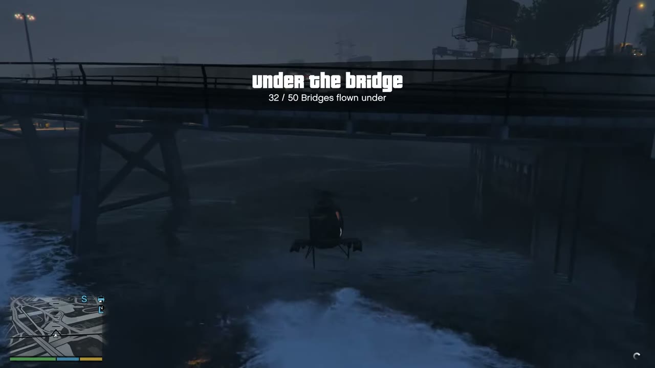 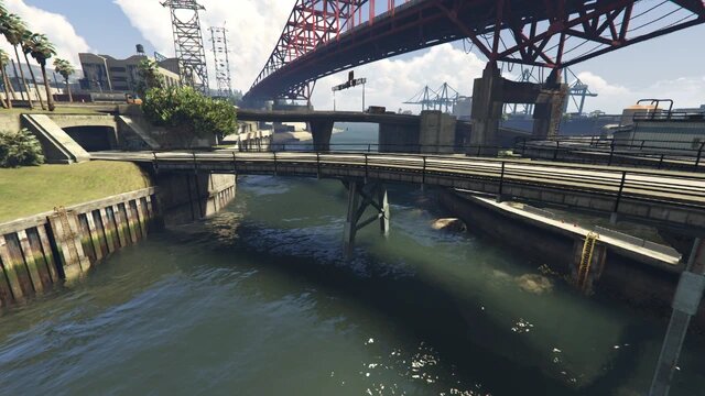 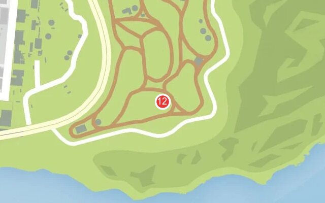 |
|
| 13 | Cypress Flats | Road bridge in the same cluster. | 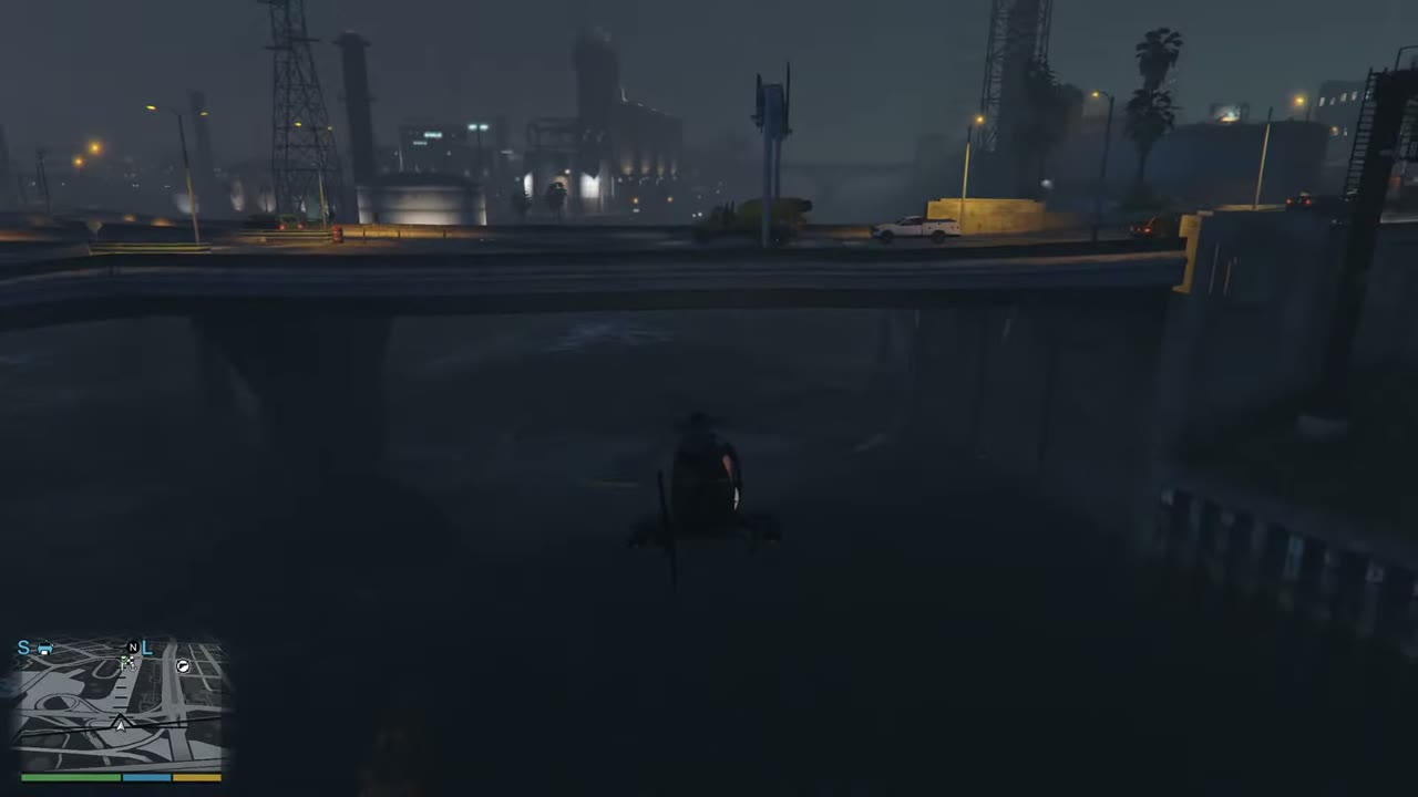 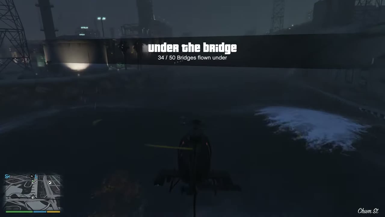 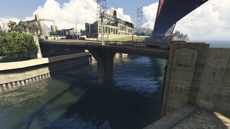 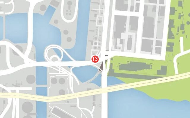 |
|
| 14 | Cypress Flats | Elysian Fields Freeway Bridge, the red arch over the harbor channel. | 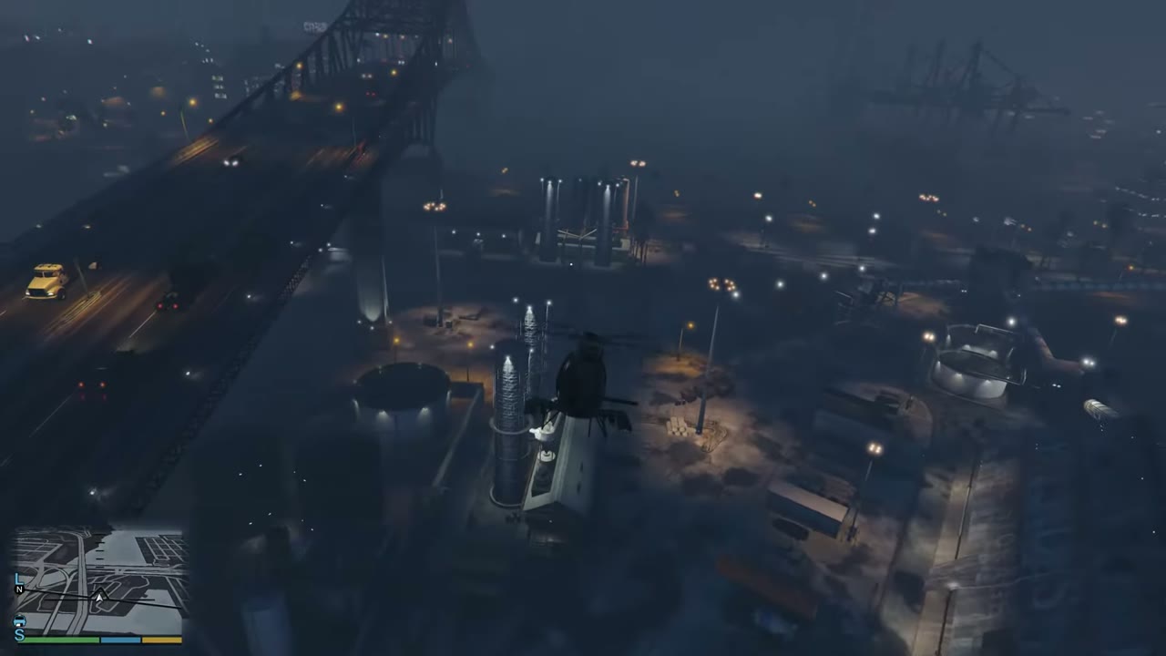 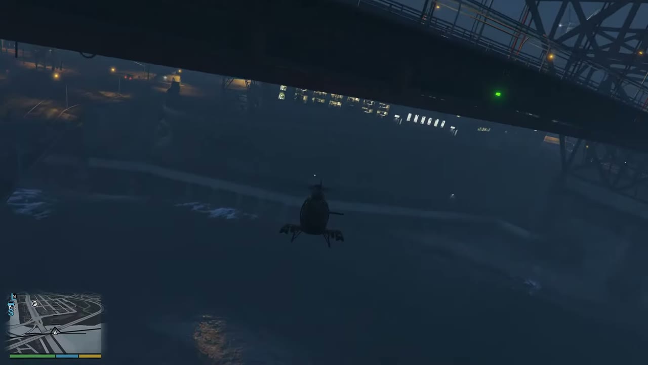 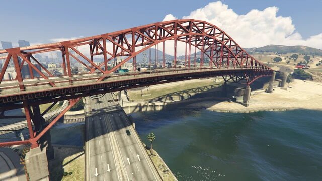 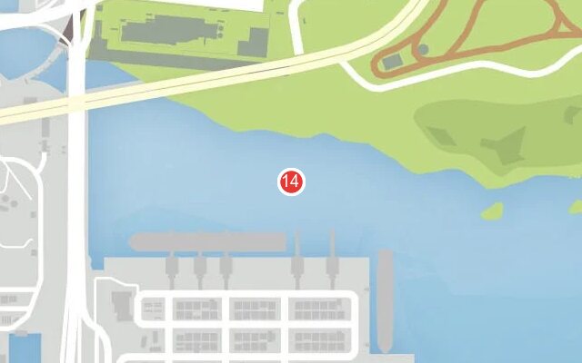 |
|
| 15 | Lago Zancudo | Zancudo Bridge, carrying the highway across the river mouth. | 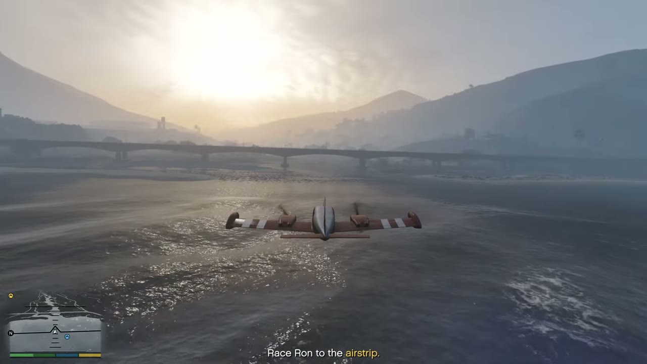 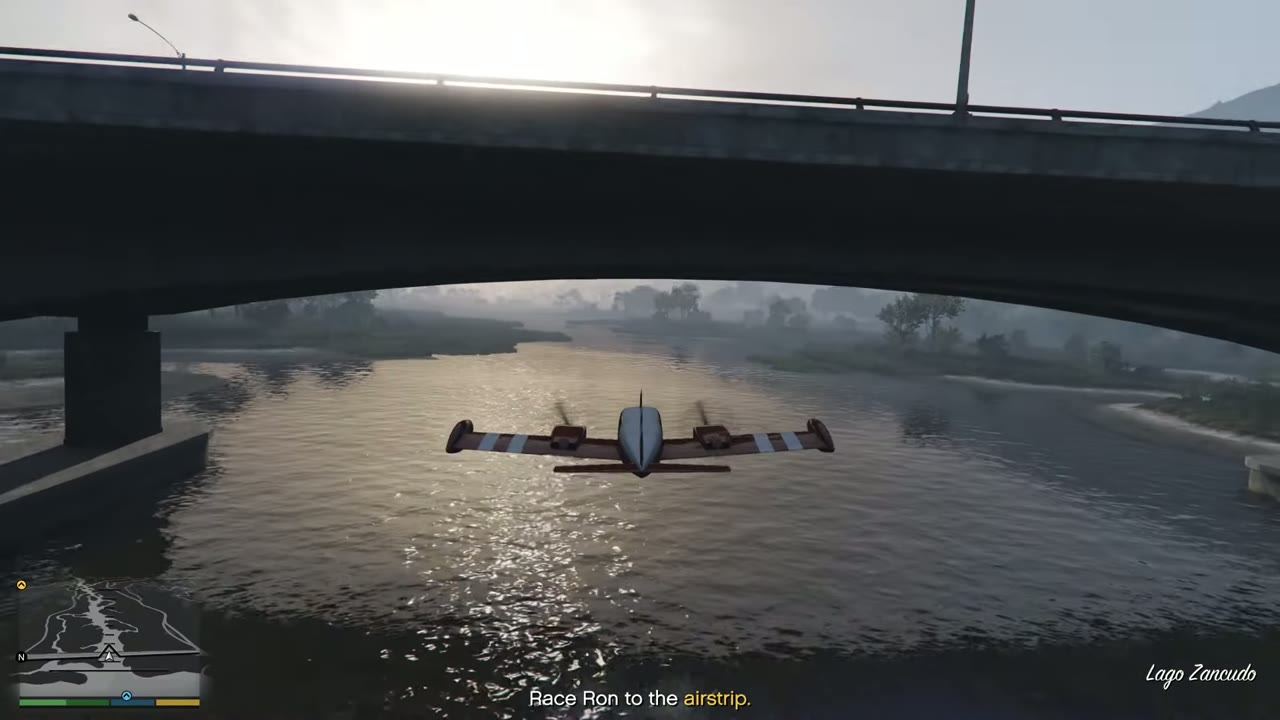 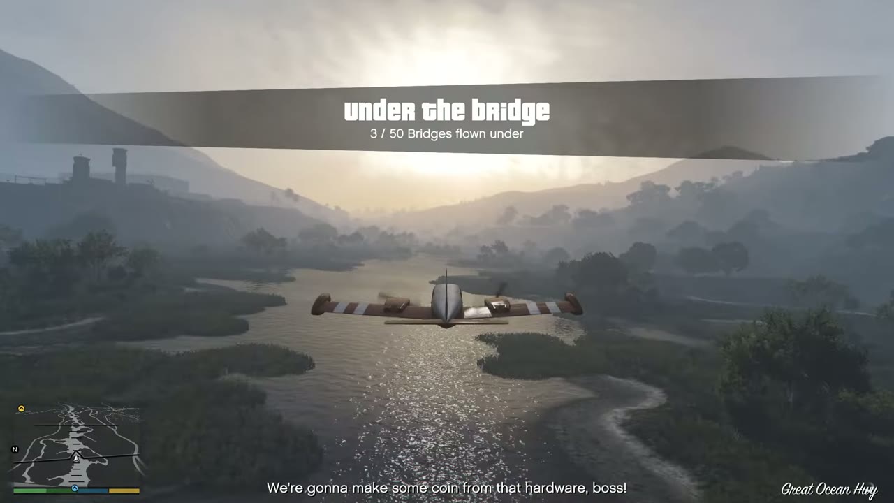 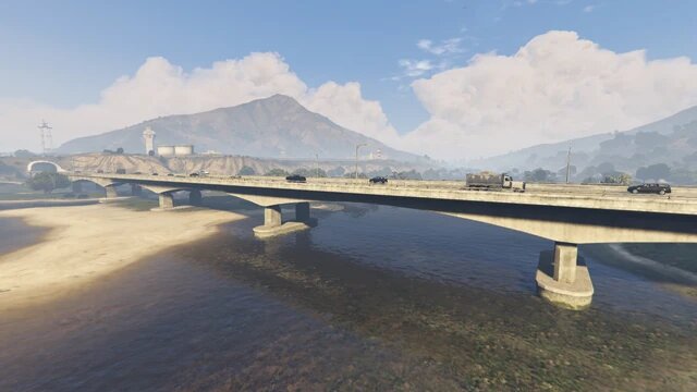 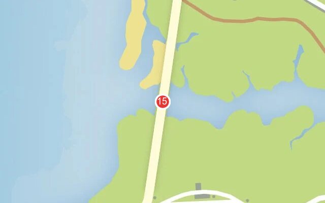 |
|
| 16 | Raton Canyon | Cassidy Creek Bridge, the large highway arch at the coast. | 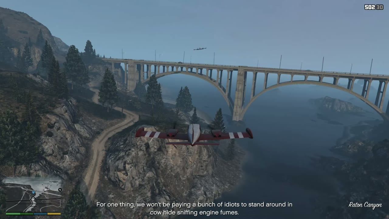 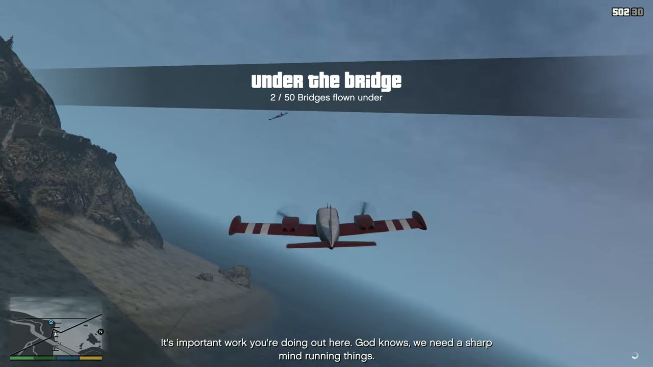 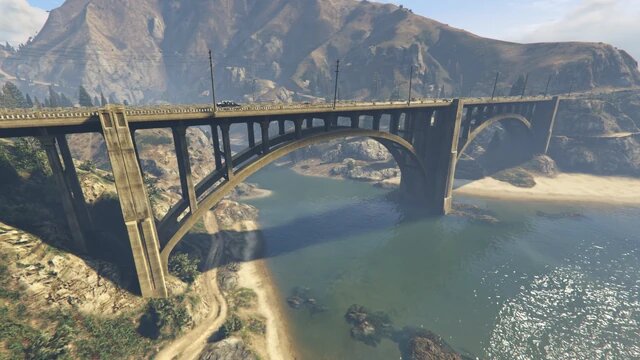 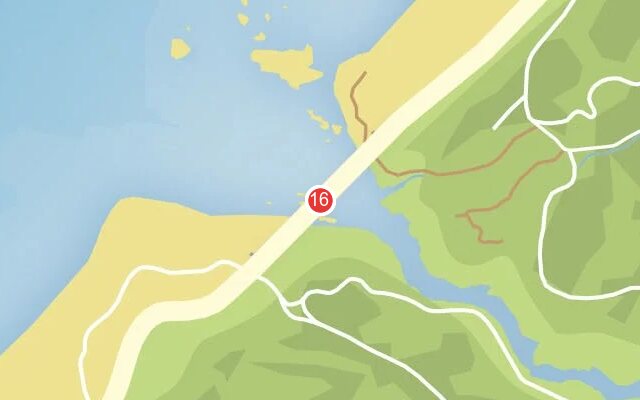 |
|
| 17 | Cassidy Creek | Raton Canyon rail bridge, the giant one upstream. | 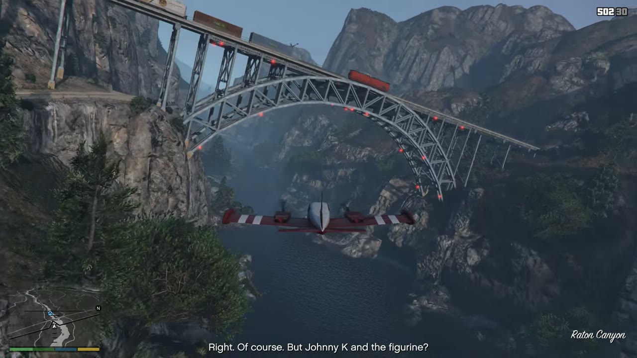 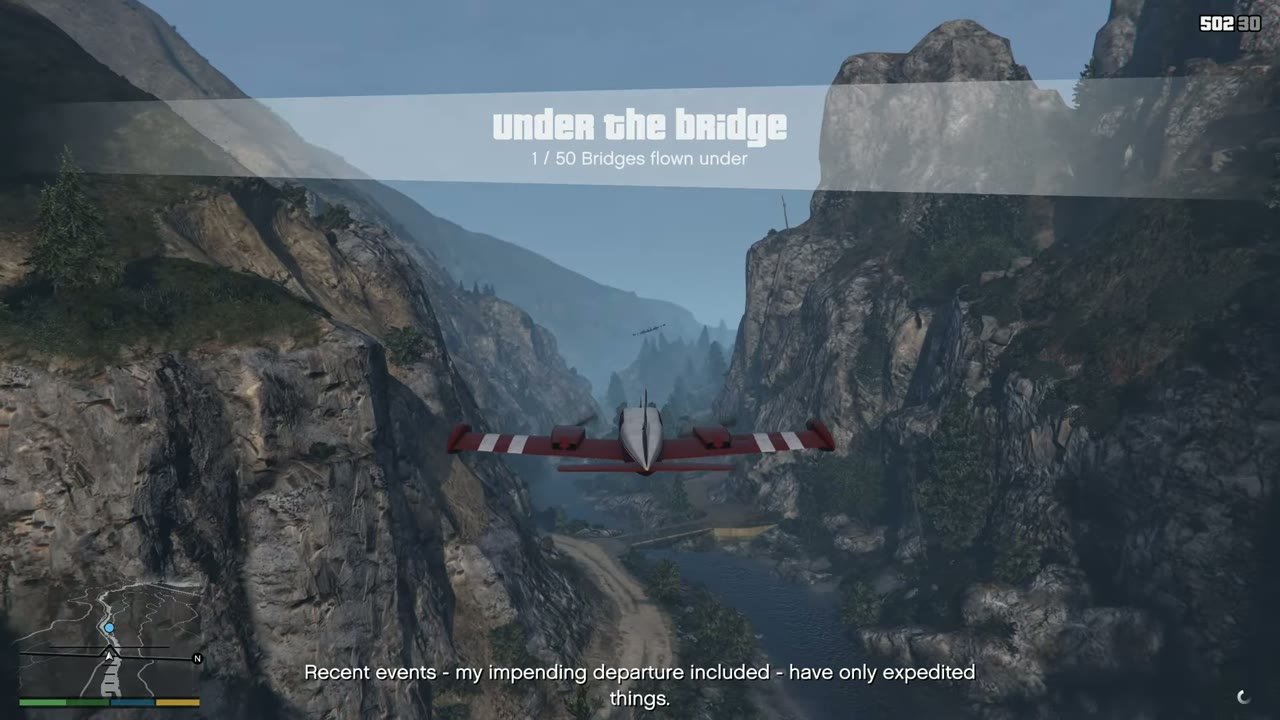 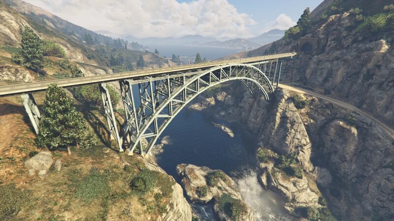 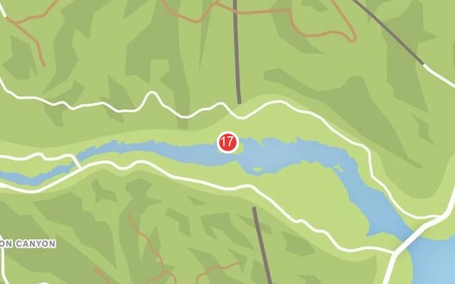 |
|
| 18 | Zancudo River | Rail bridge at the Alamo Sea end of the river. Pairs with no. 19. | 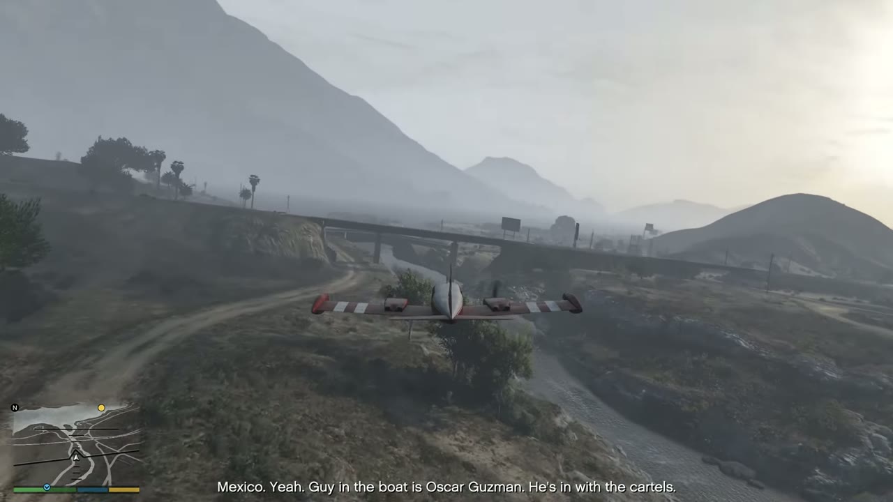 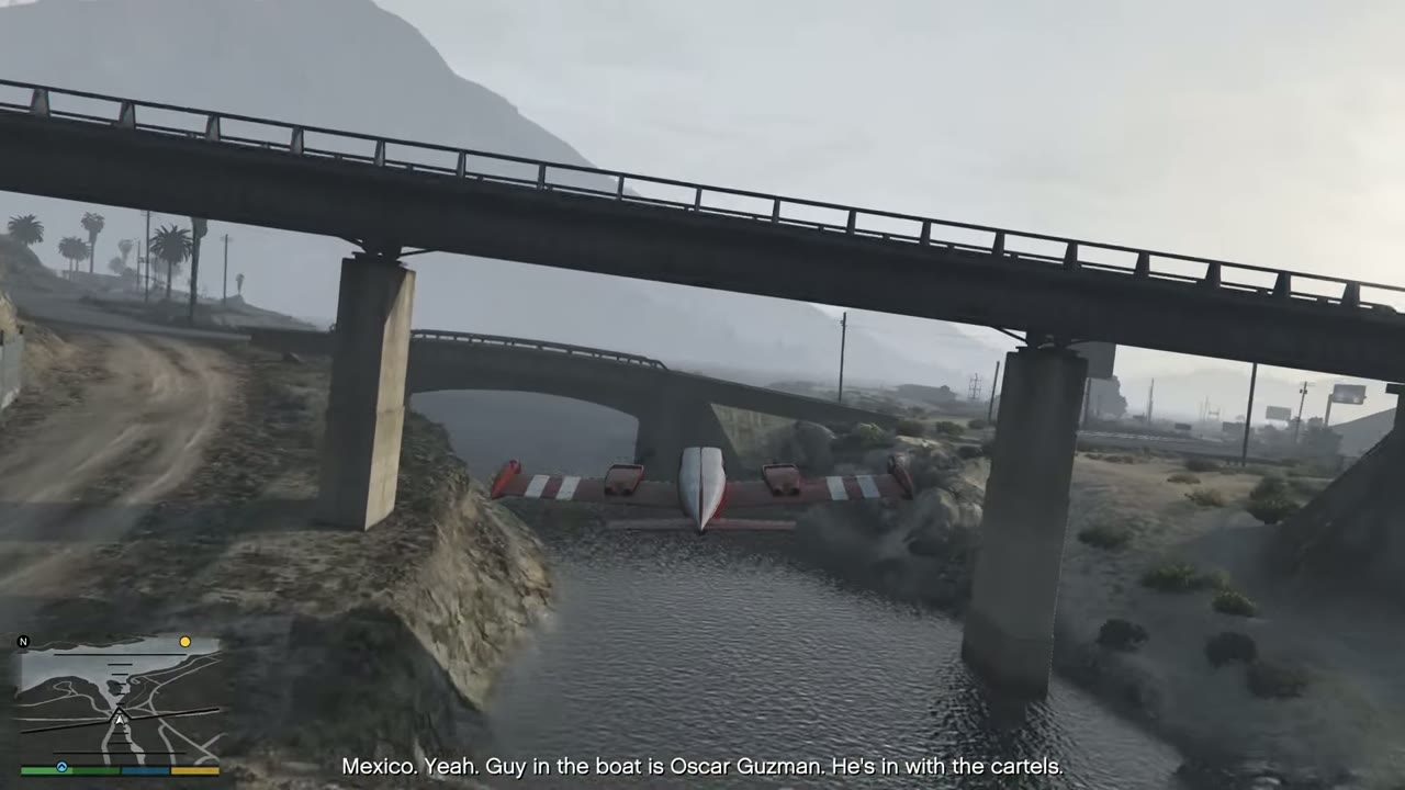 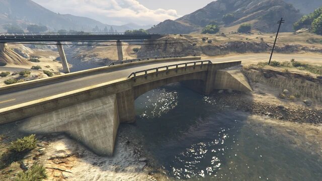 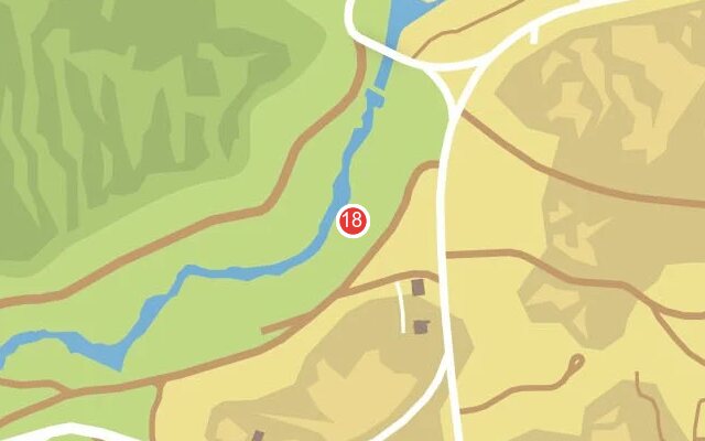 |
|
| 19 | Zancudo River | Road bridge beside no. 18. One pass gets both. | 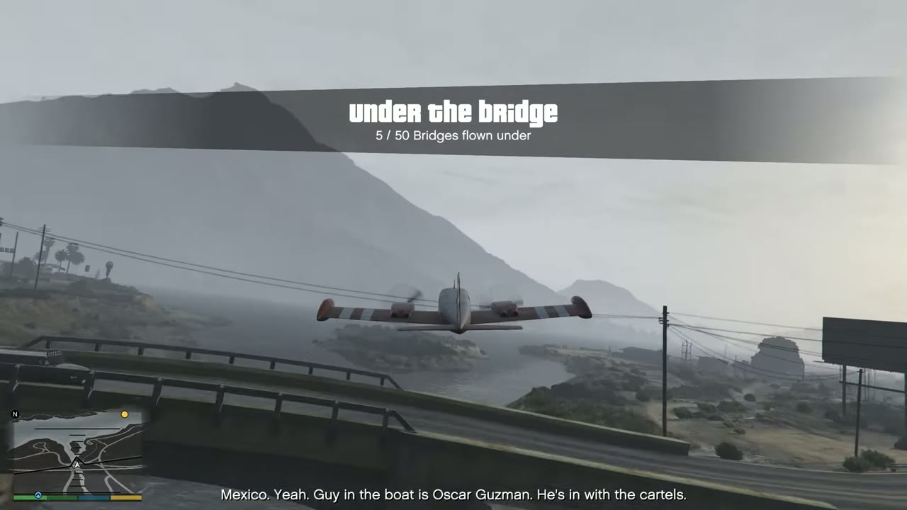 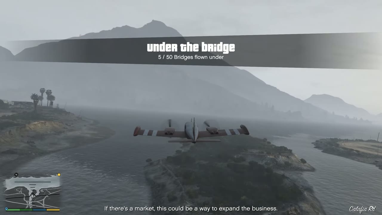 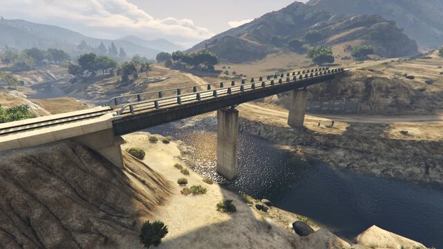 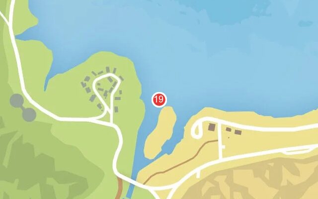 |
|
| 20 | San Chianski Range | Rail bridge east of Grapeseed, over a canal and a road. | 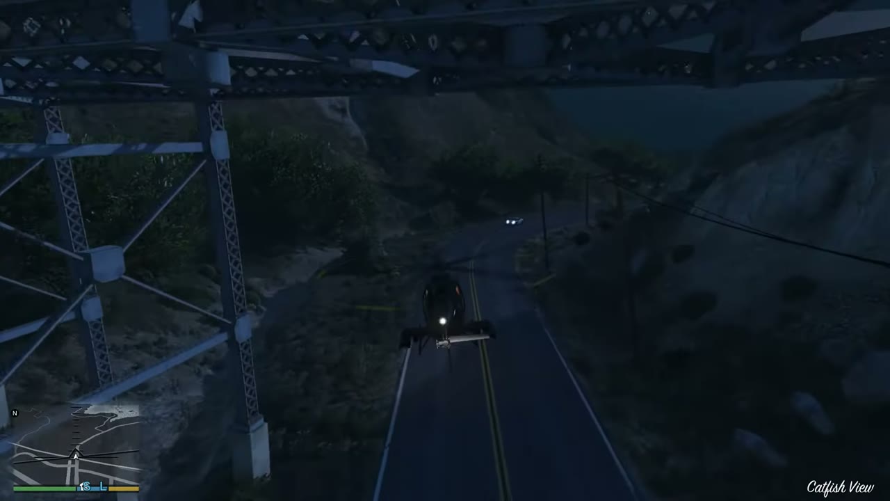 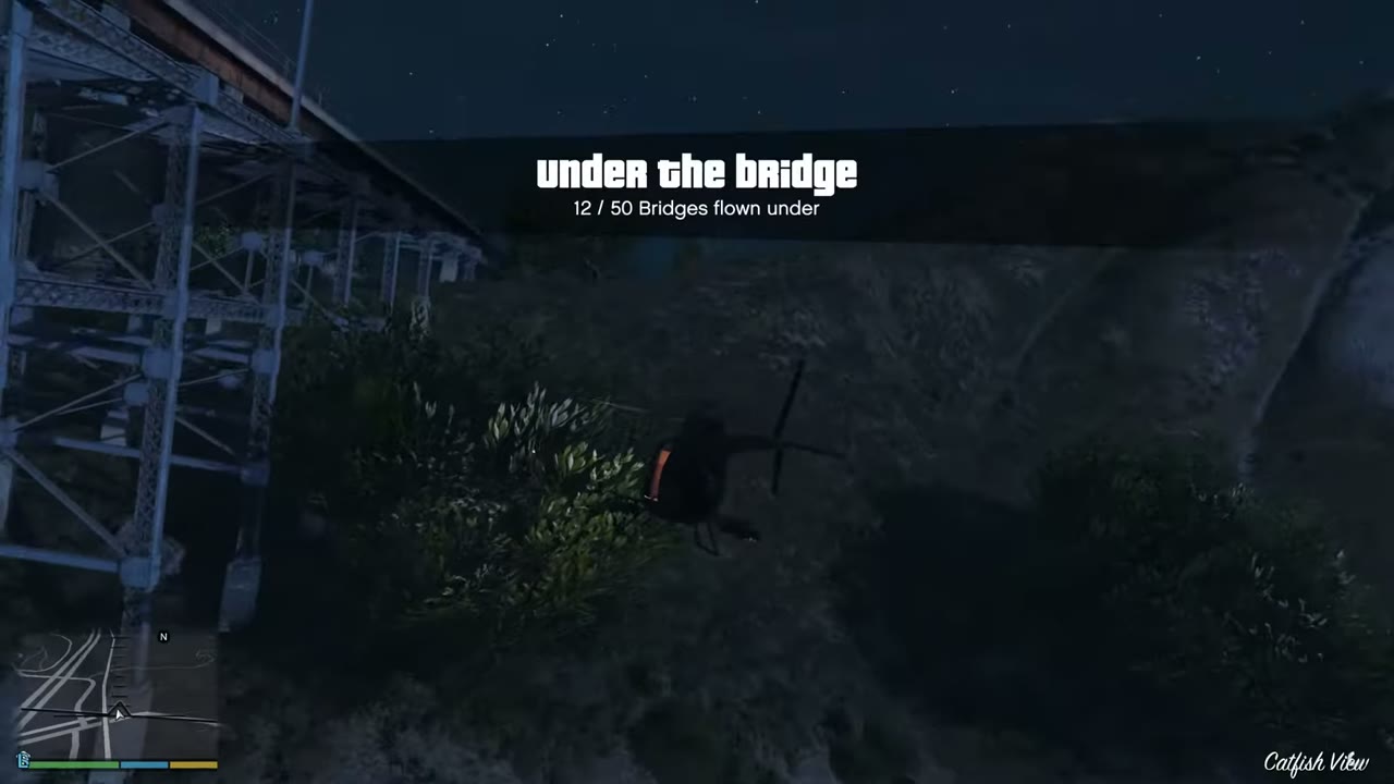 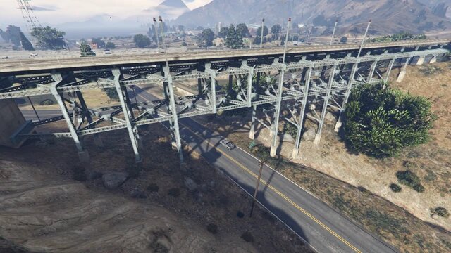 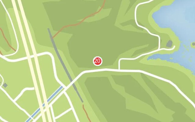 |
|
| 21 | Calafia | Calafia Bridge, a small crossing where the creek meets the Alamo Sea. | 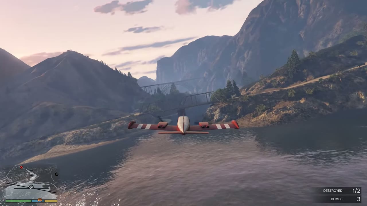 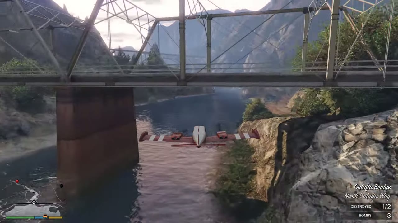 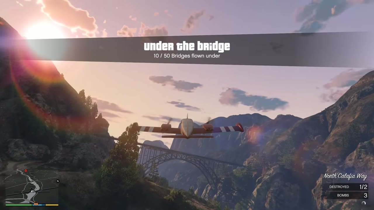 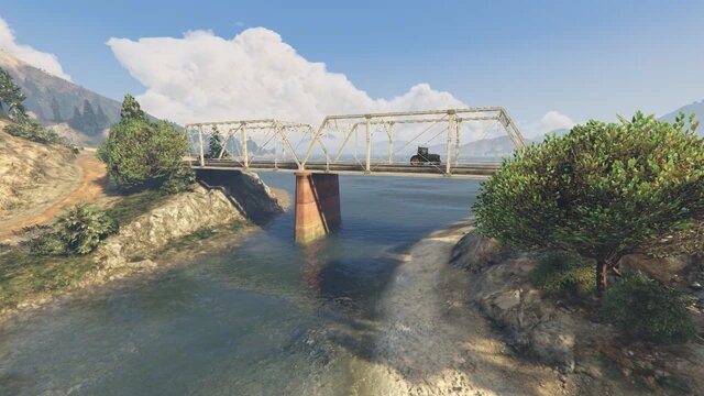 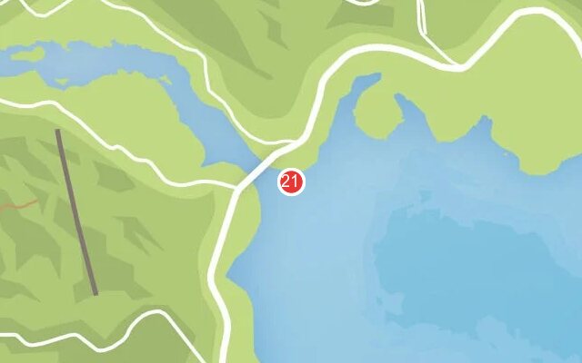 |
|
| 22 | Zancudo River | Small wooden crossing on a dirt track. Low and hard to spot. | 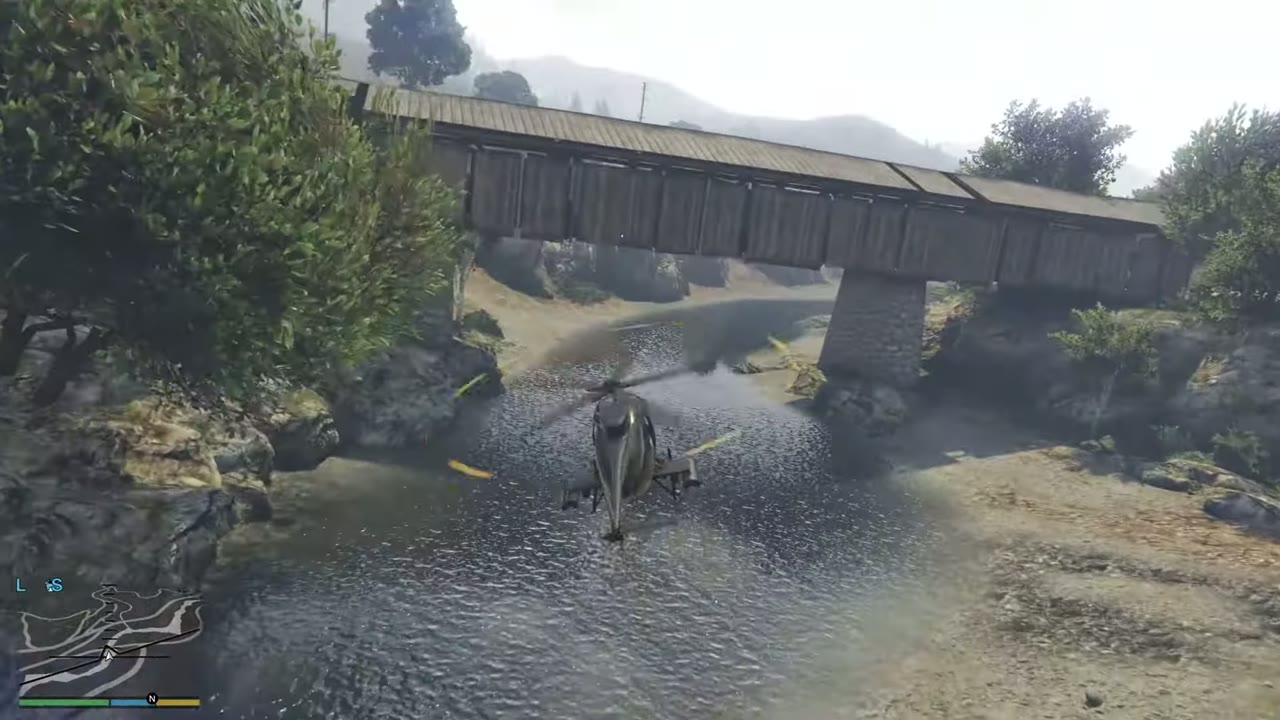 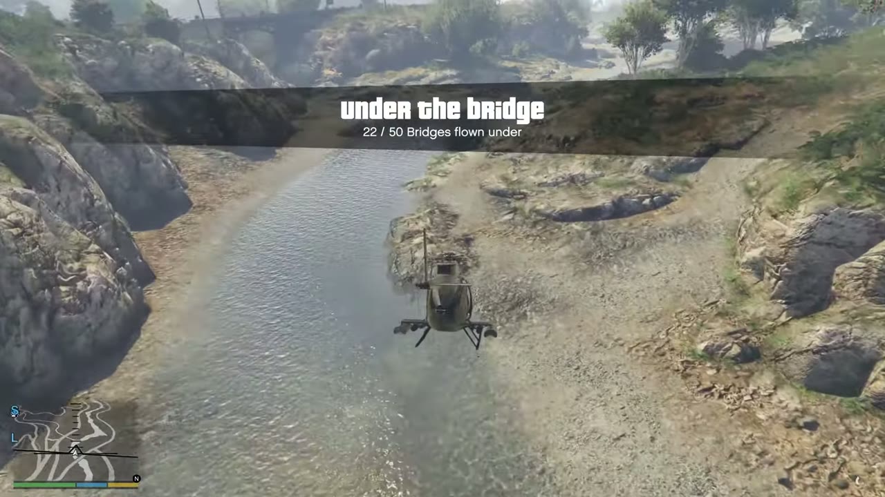 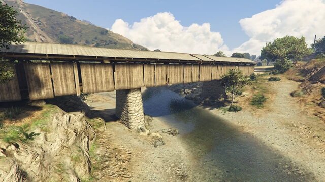 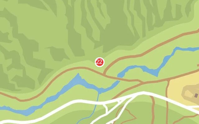 |
|
| 23 | Great Chaparral | Road bridge with a dirt trail below it. No water here. | 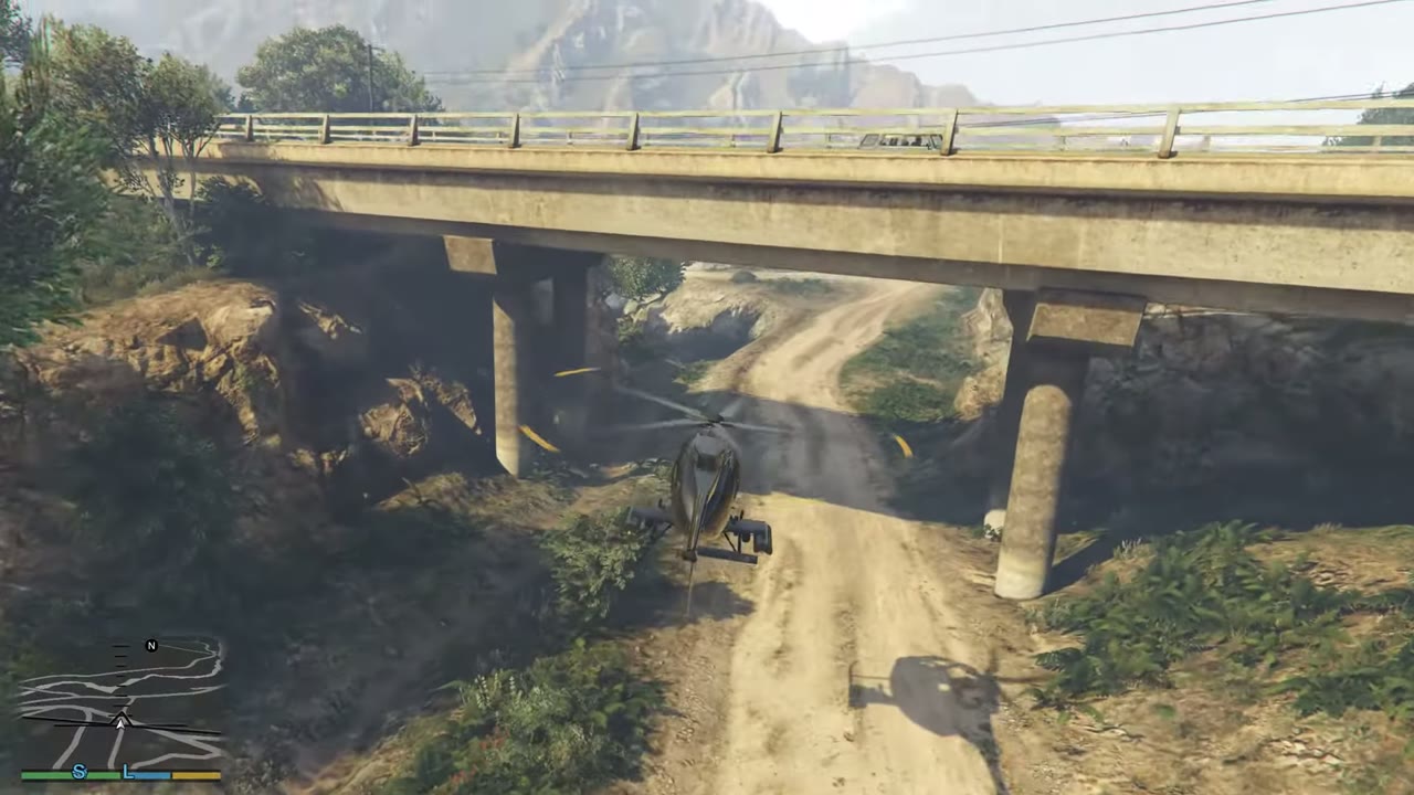 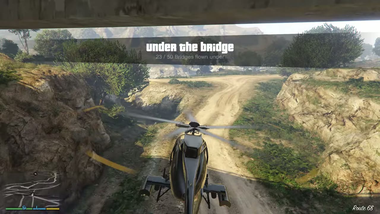 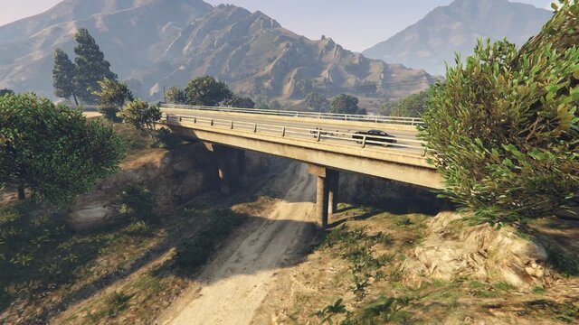 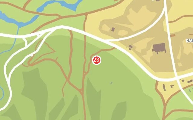 |
|
| 24 | RON Alternates | Bridge along the eastern edge of the wind farm. | 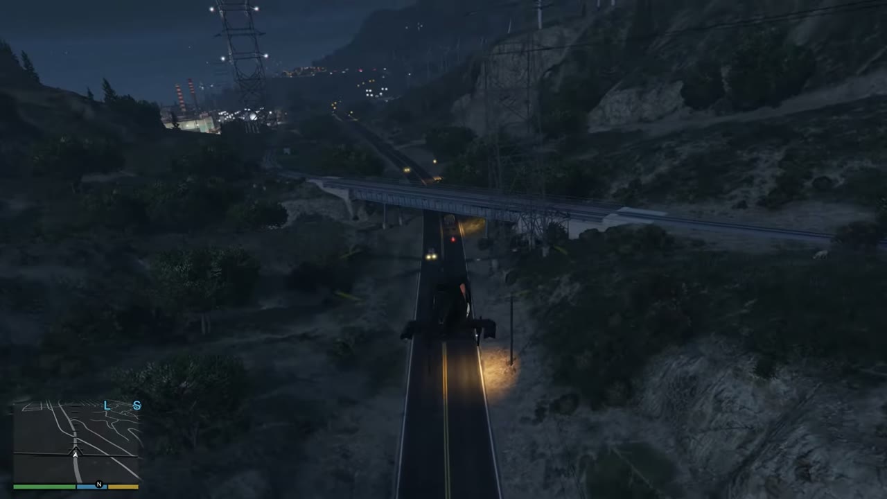 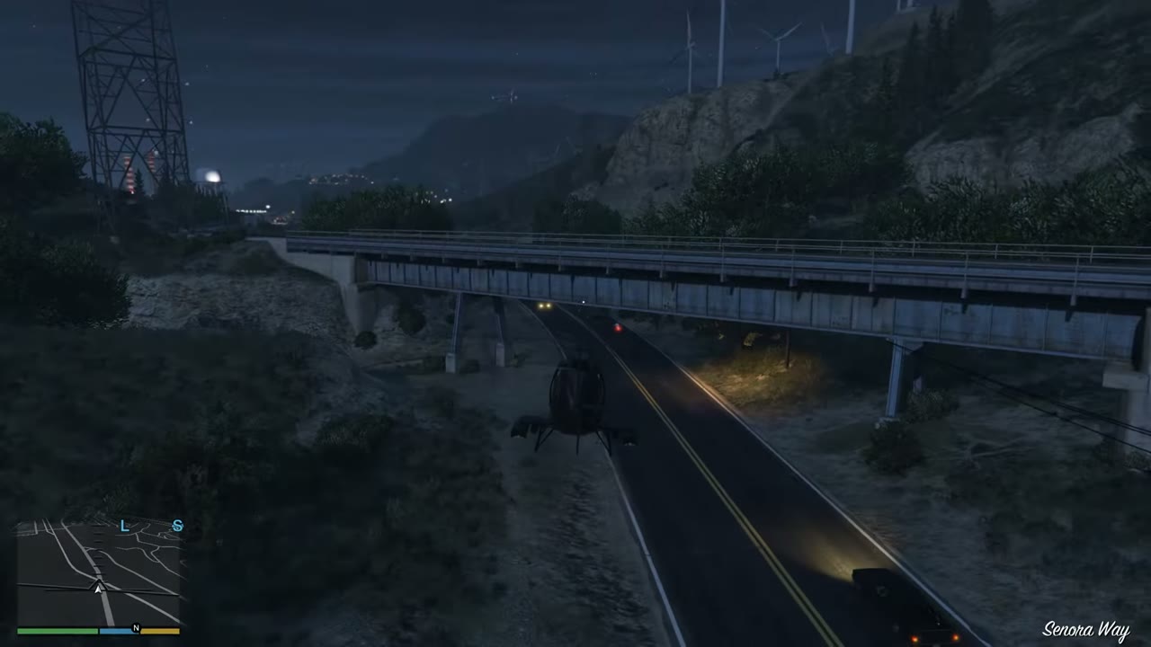 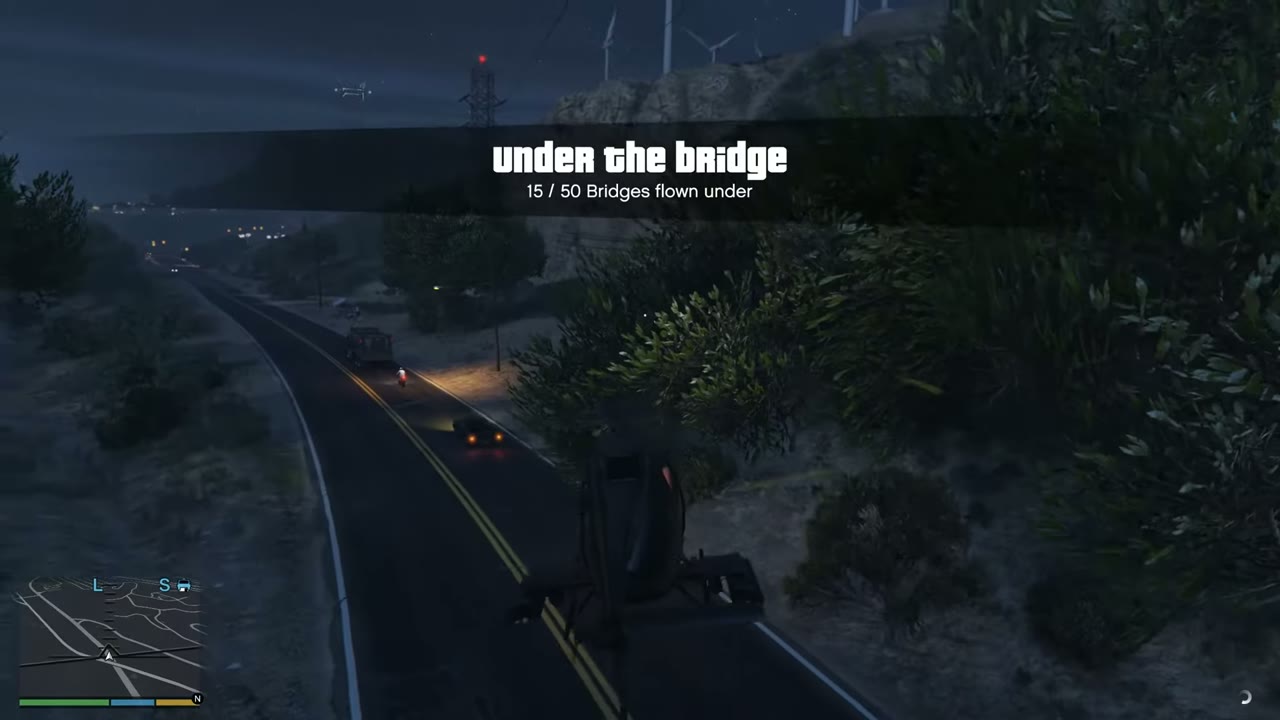 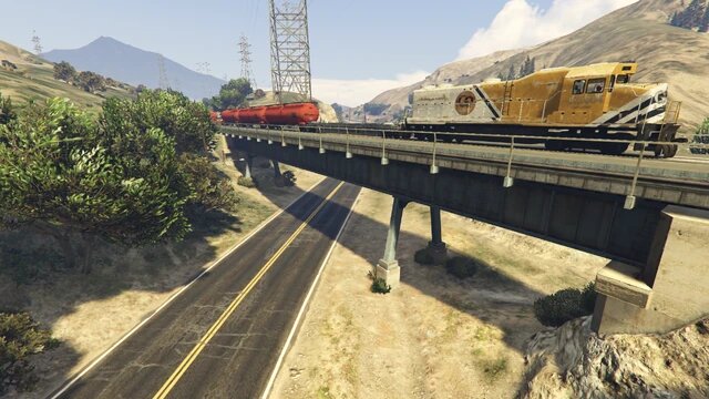 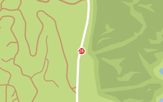 |
|
| 25 | Tataviam Mountains | Natural stone arch on the east coast. It still counts. | 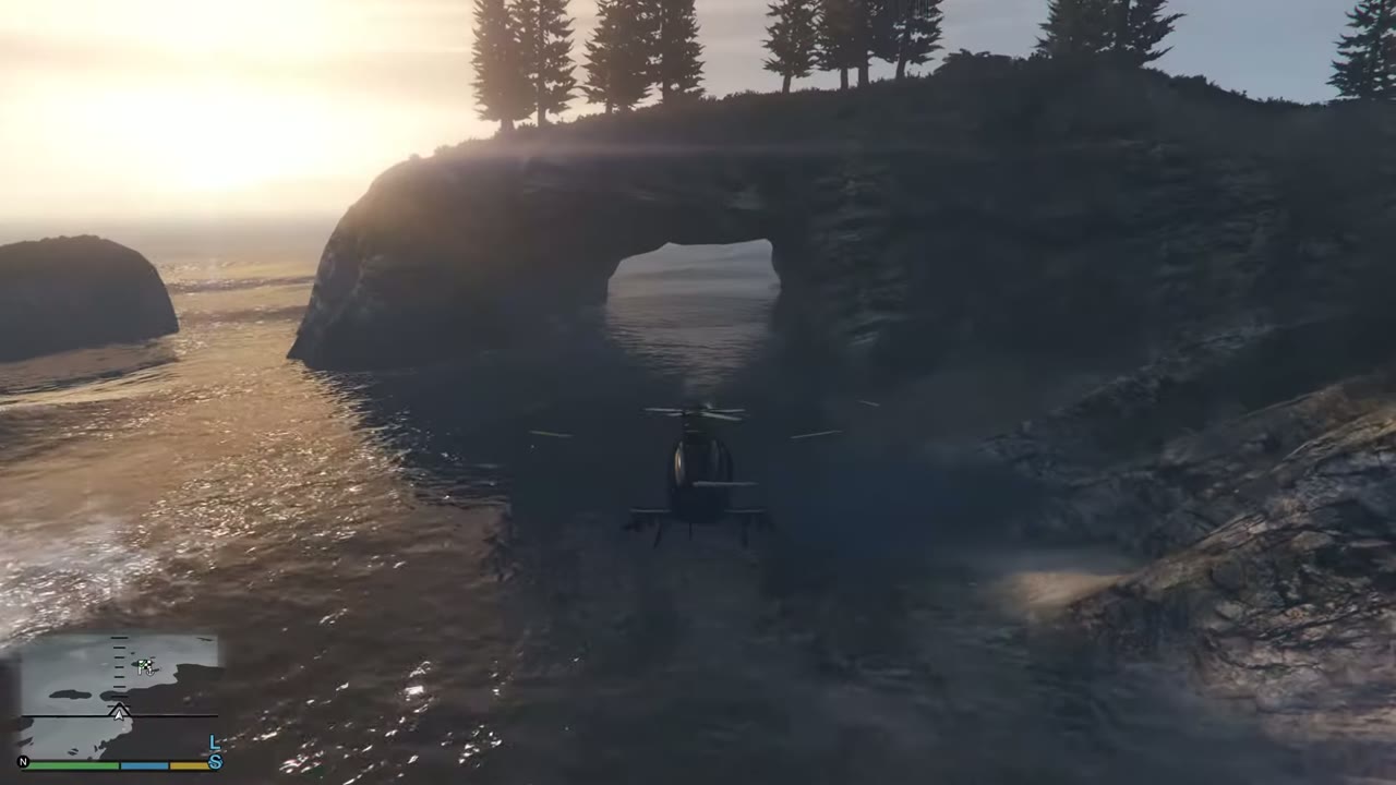 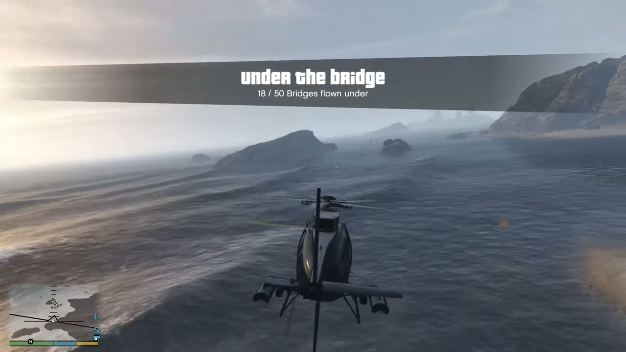 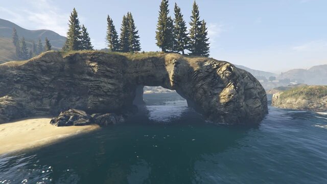 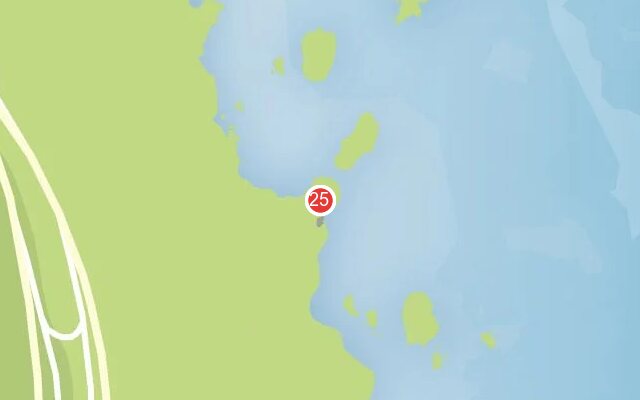 |
|
| 26 | Tataviam Mountains | Overpass at the interchange, over the exit ramps. | 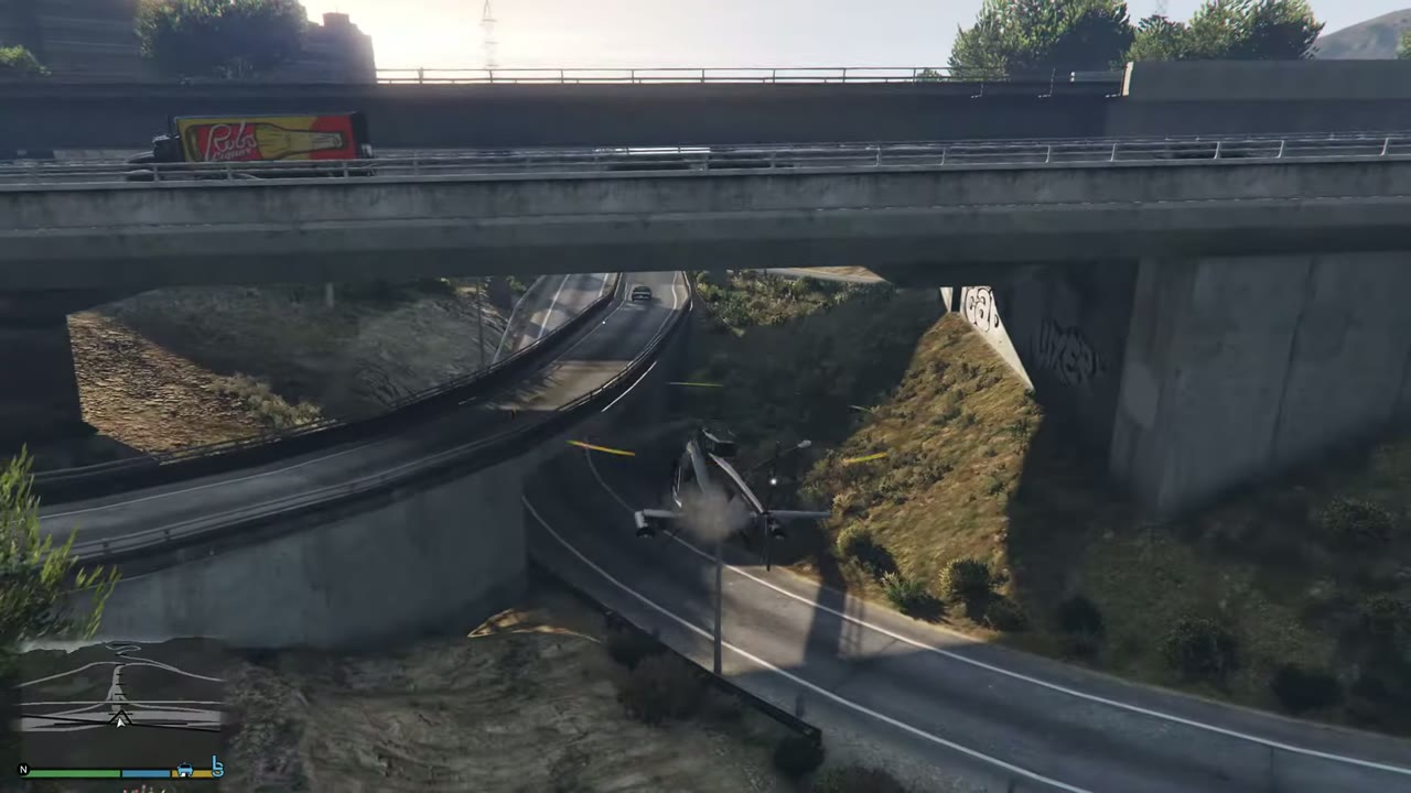 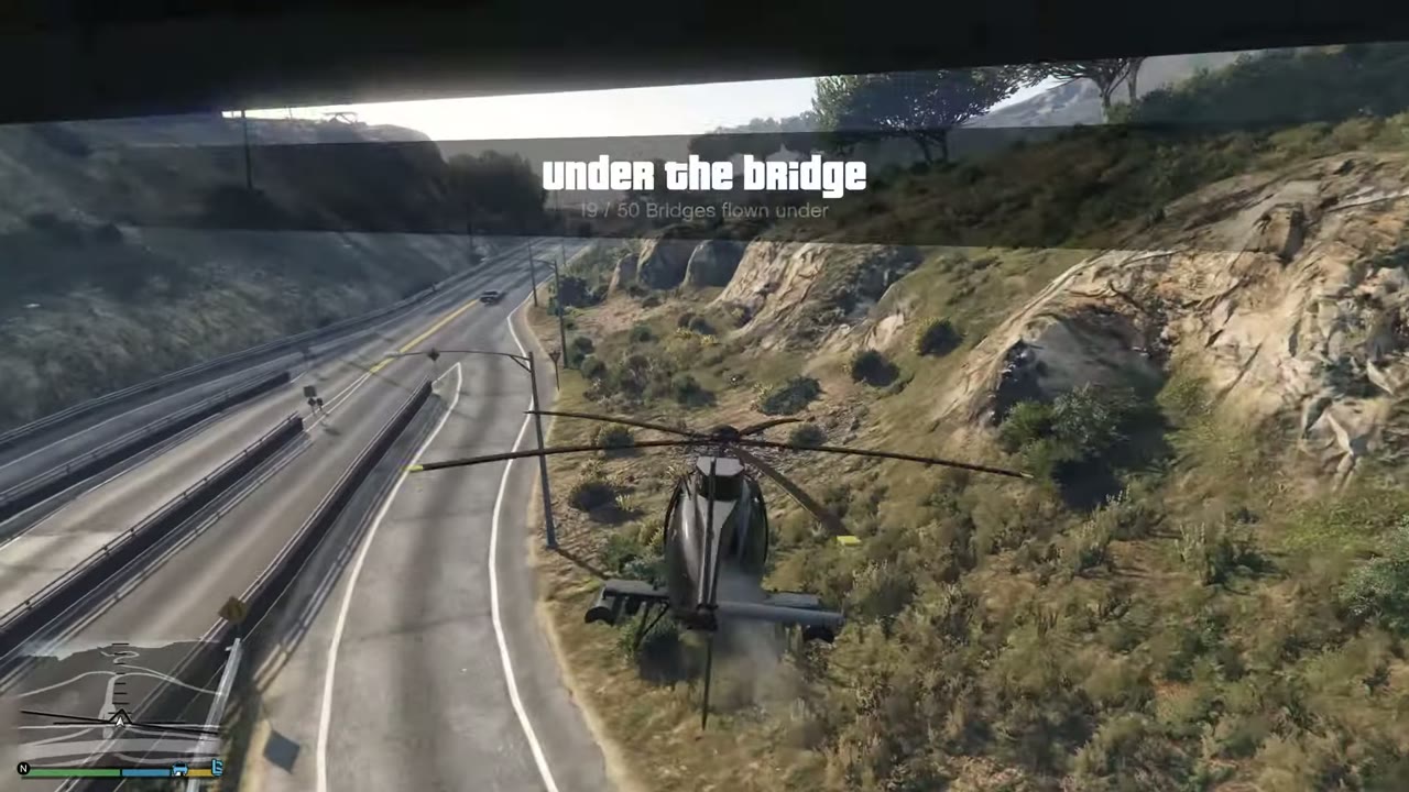 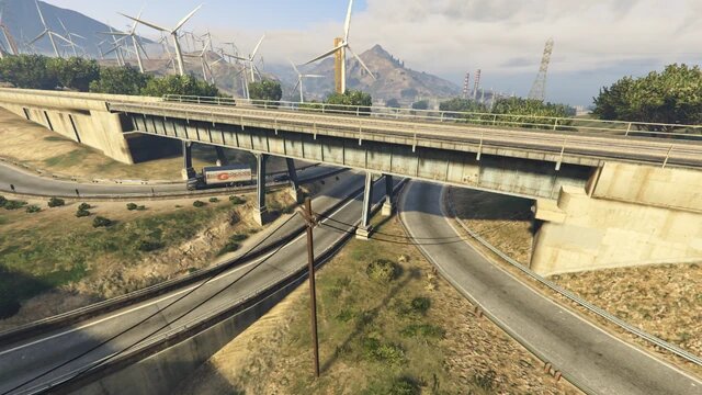 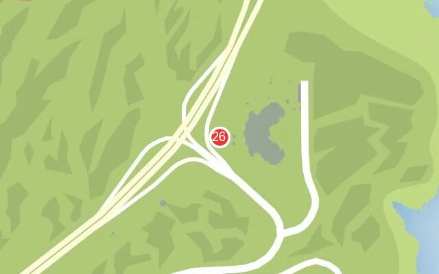 |
|
| 27 | Palomino Highlands | Rail bridge across the freeway east of town. Follow the road in low. | 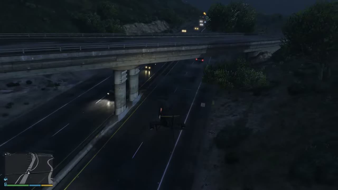 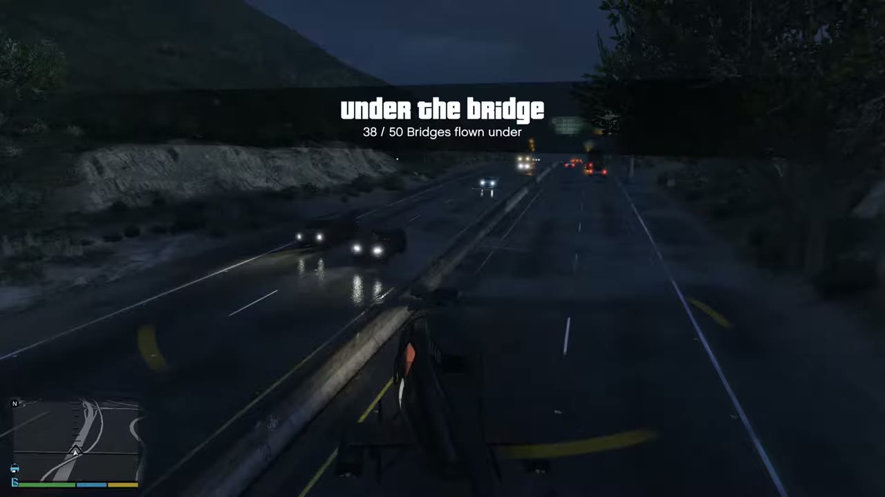 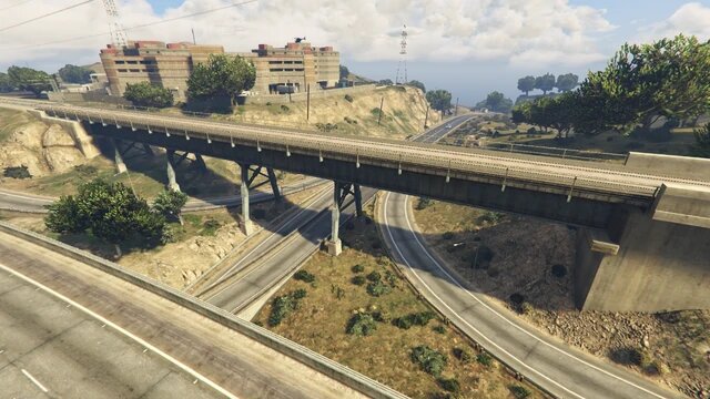 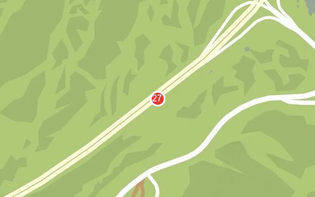 |
|
| 28 | Elysian Island | Miriam Turner Overpass, the green suspension bridge at the port. | 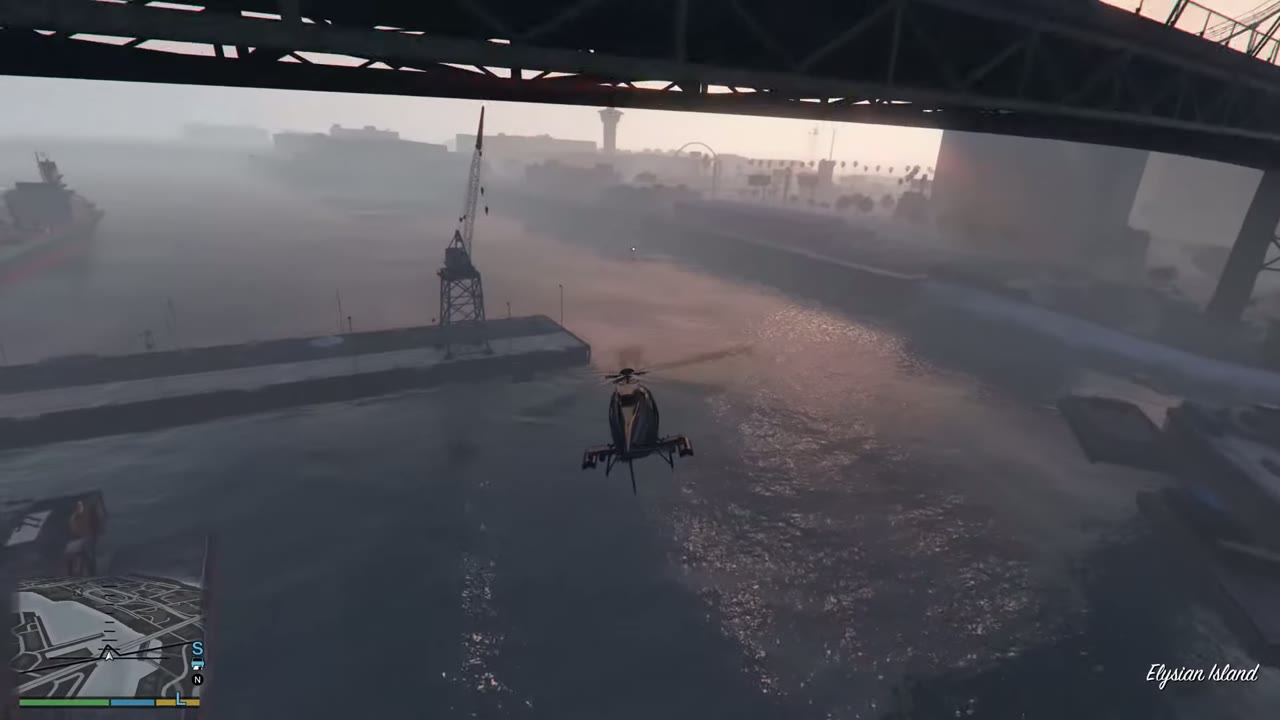 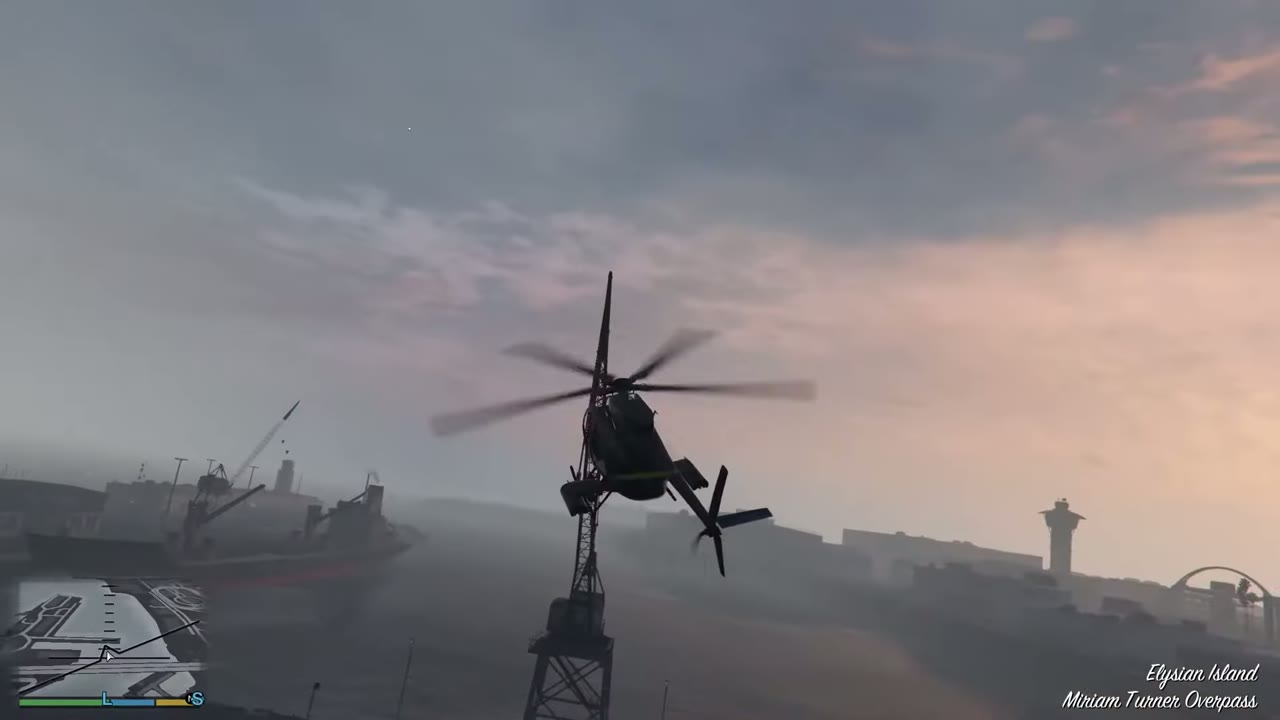 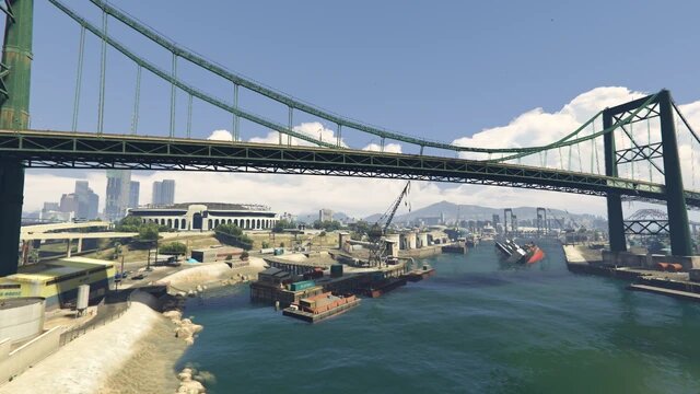 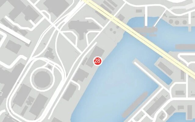 |
|
| 29 | Lago Zancudo | Road bridge on the way to the Fort Zancudo gate. | 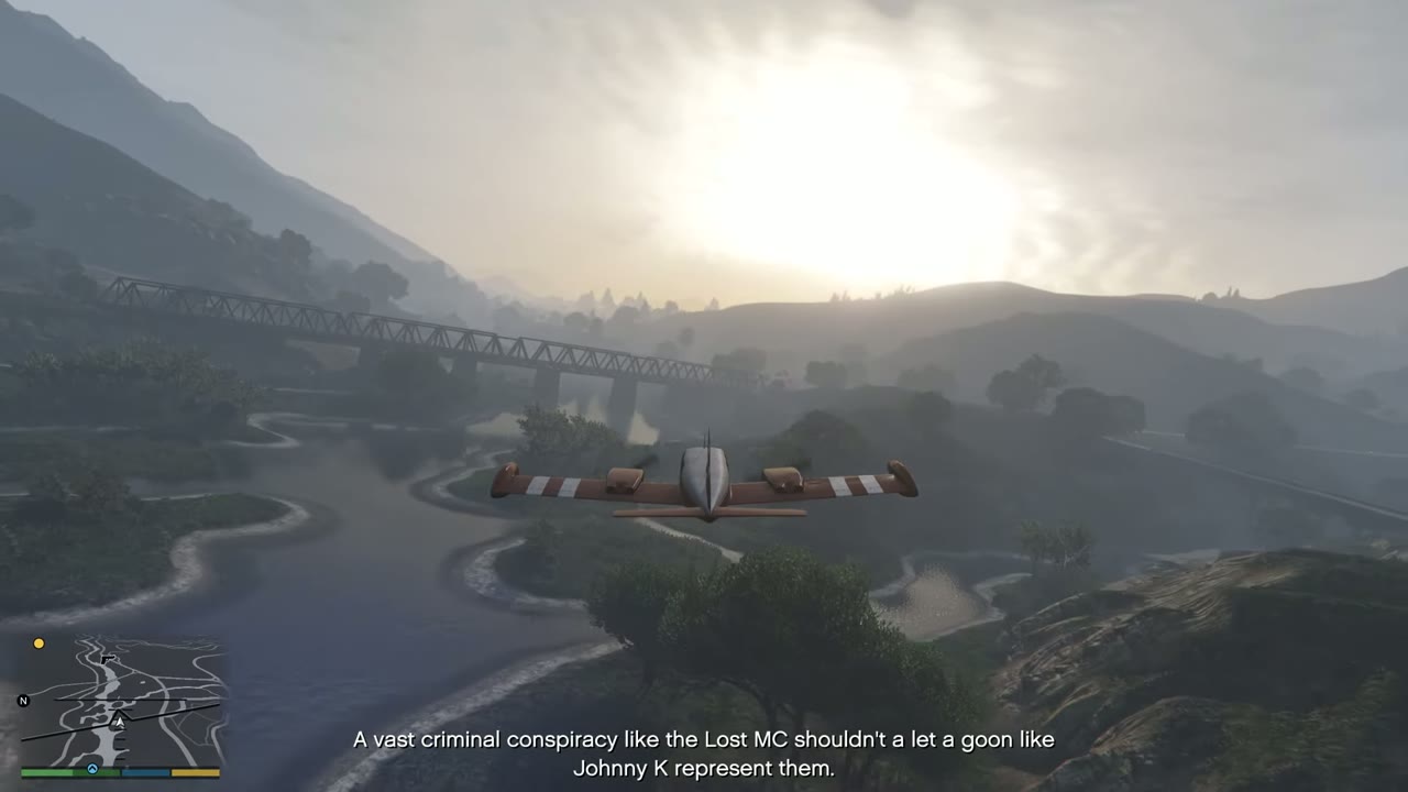 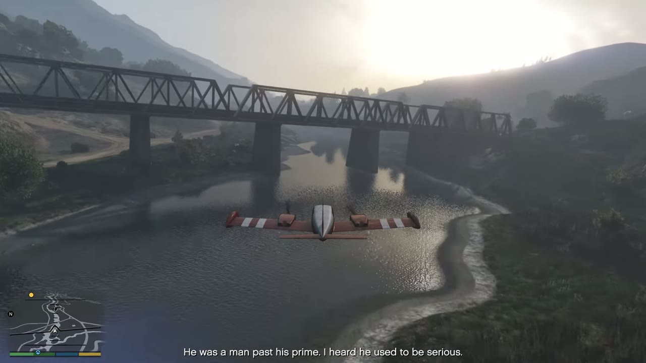 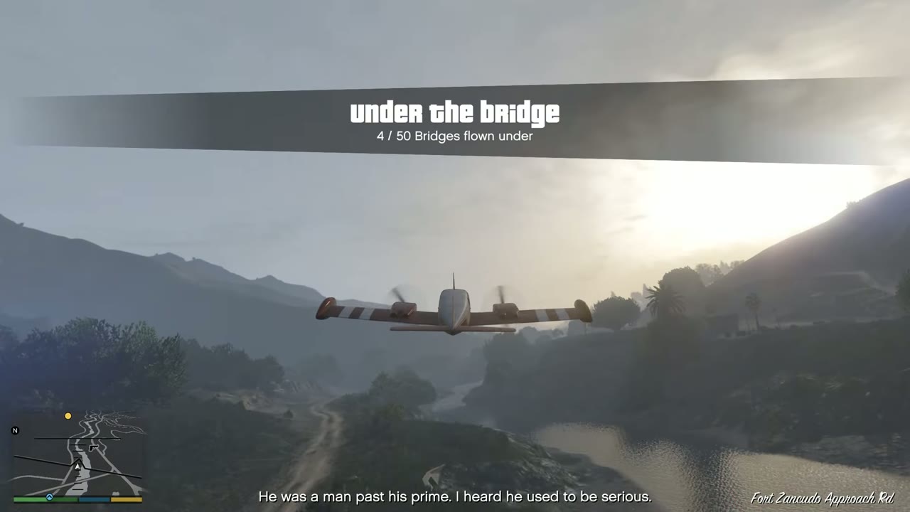 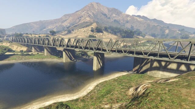 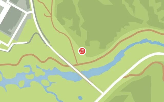 |
|
| 30 | Banning | Rail lift bridge on the port channel. Very low, so hug the water. | 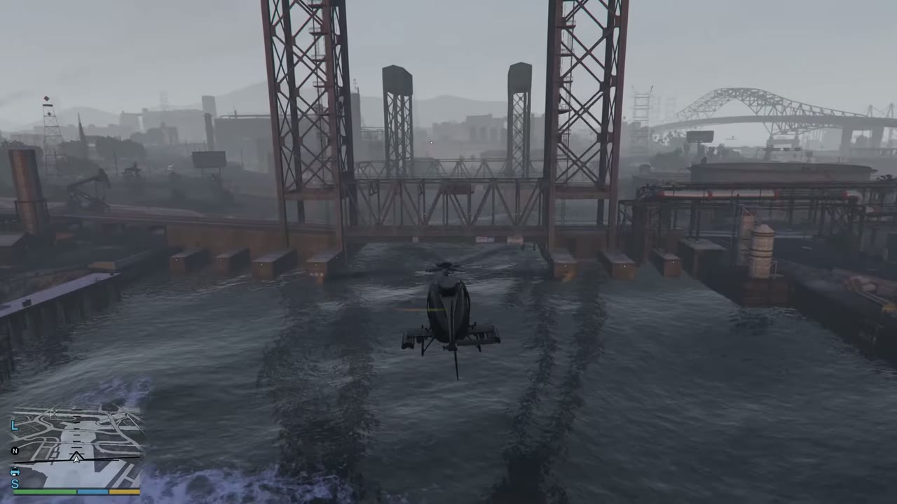 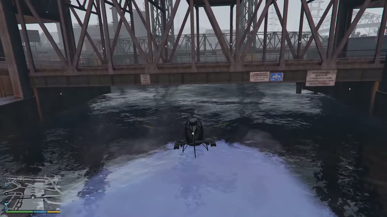 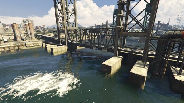 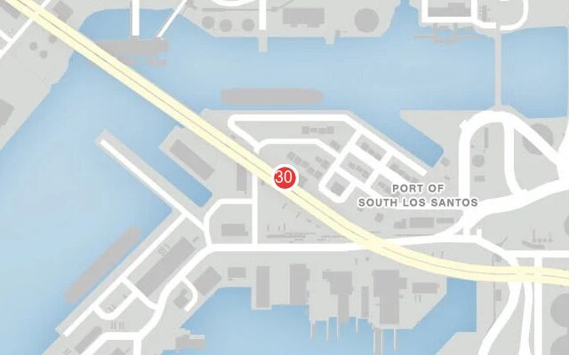 |
|
| 31 | Banning | Road bridge immediately east of no. 30. Keep the same height. | 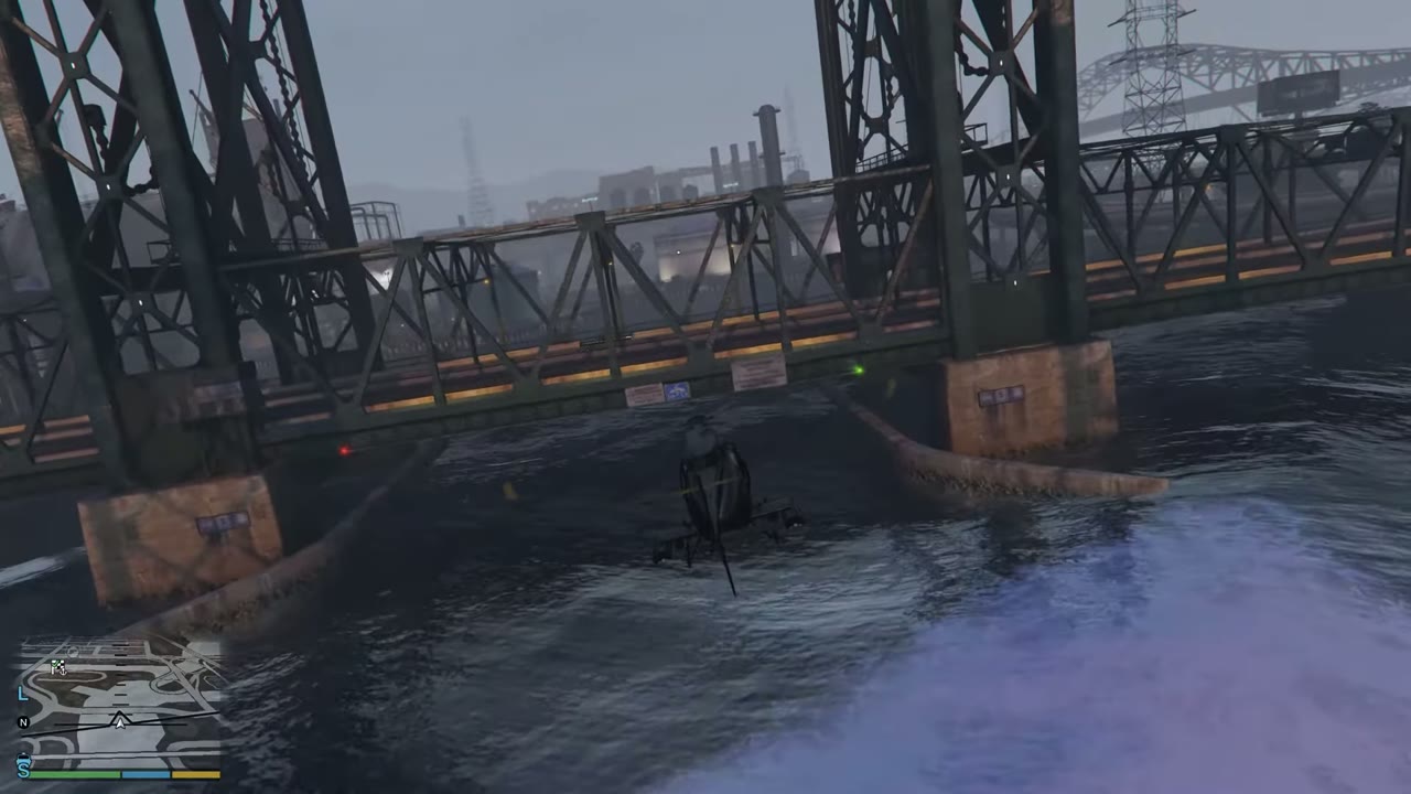 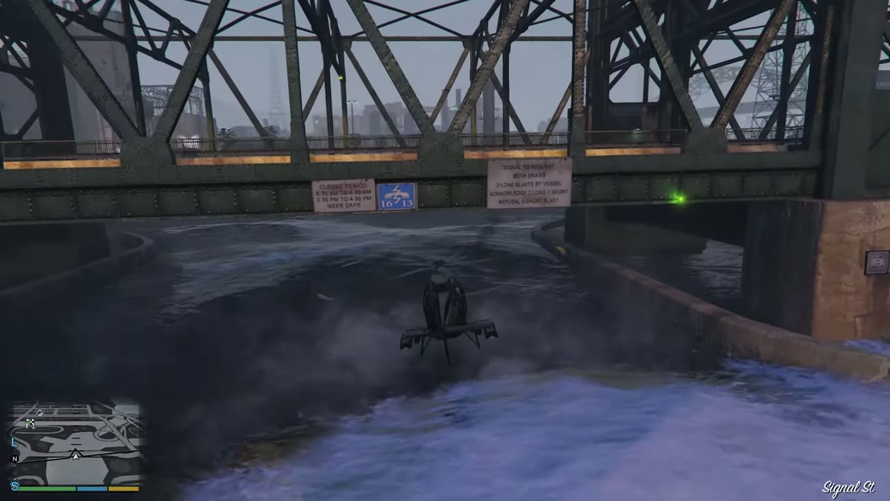 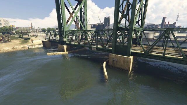 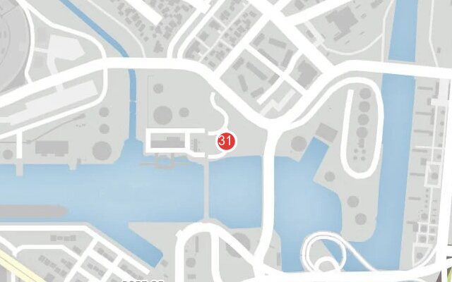 |
|
| 32 | Mount Chiliad | Rail bridge above the highway near Braddock Pass. | 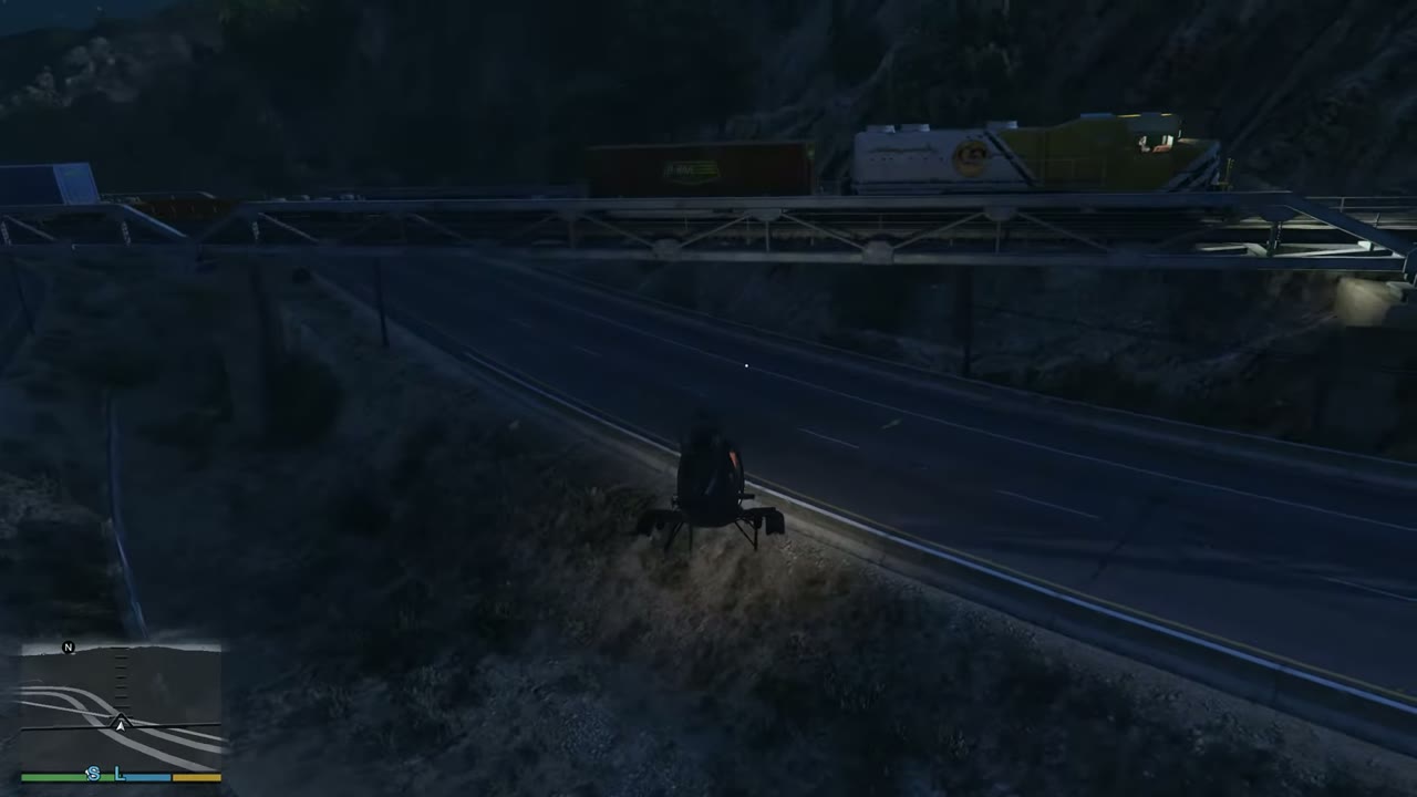 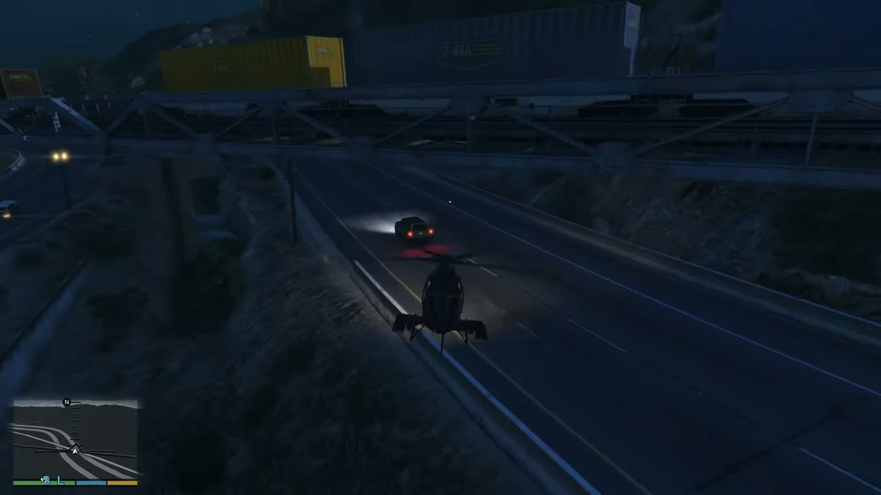 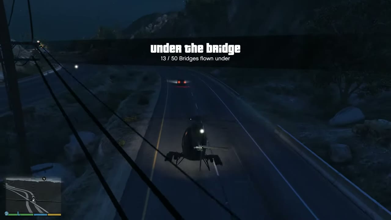 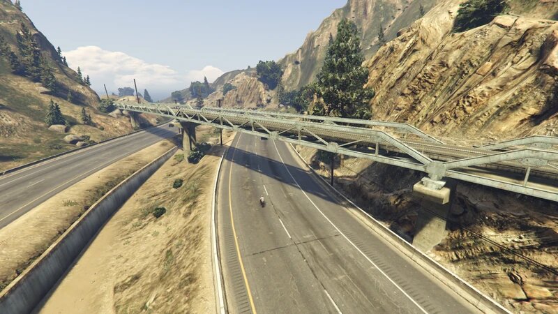 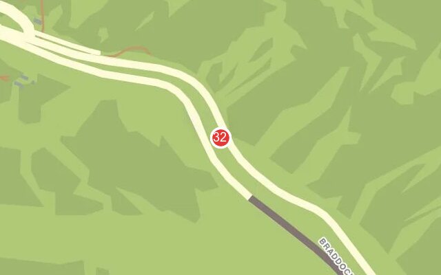 |
|
| 33 | La Puerta | Road bridge by Higgins Helitours. First of seven along the canal. | 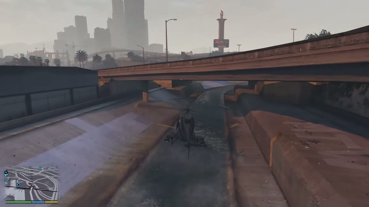 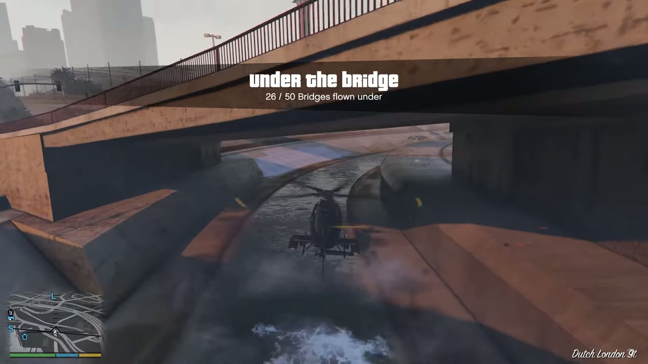 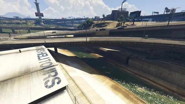 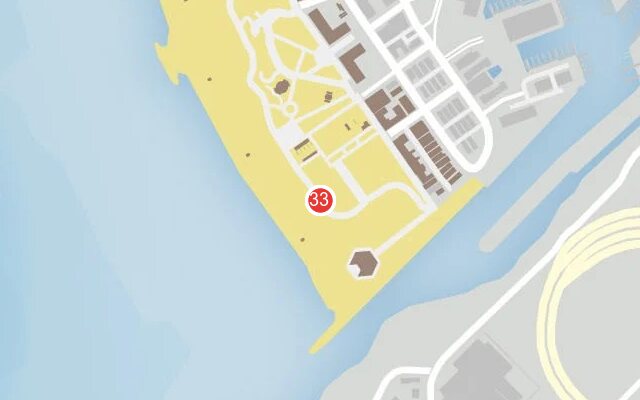 |
|
| 34 | La Puerta | Road bridge directly after no. 33. | 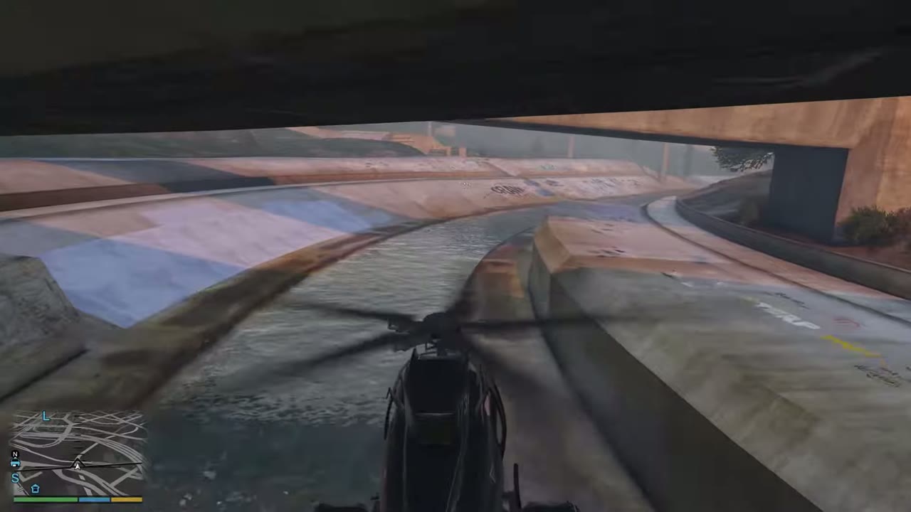 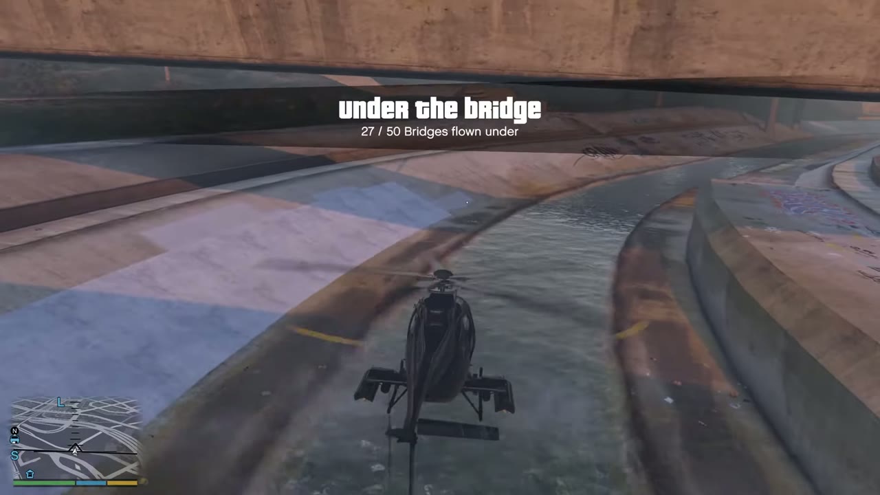 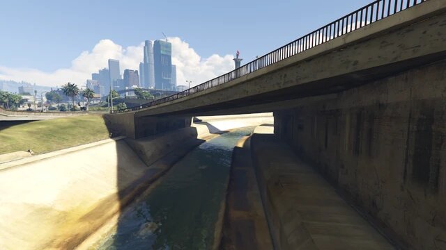 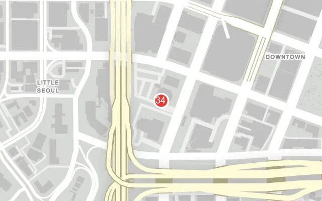 |
|
| 35 | La Puerta | Rail bridge directly after no. 34. | 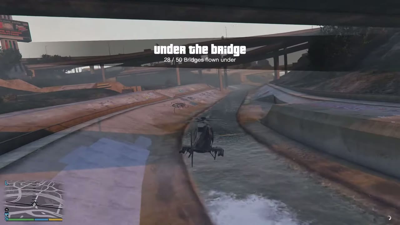 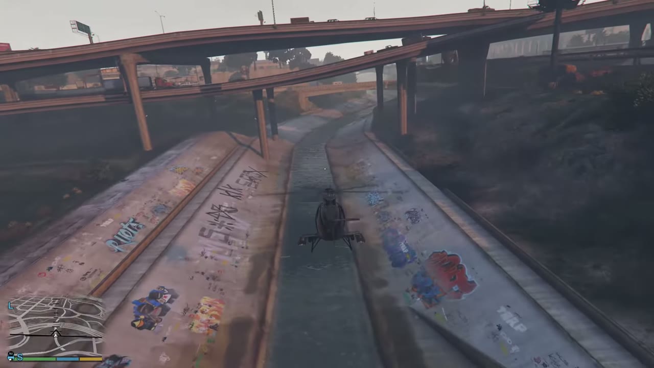 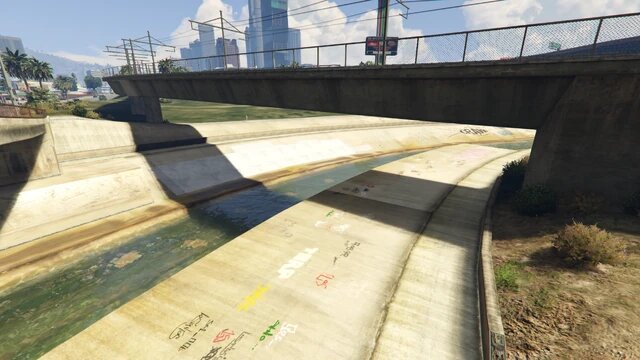 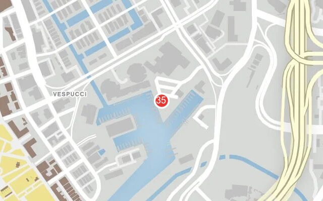 |
|
| 36 | La Puerta | Freeway bridge, wide, a little further along. | 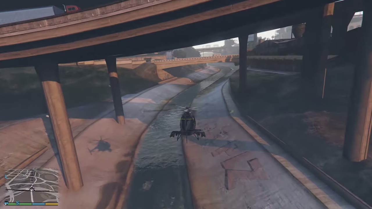 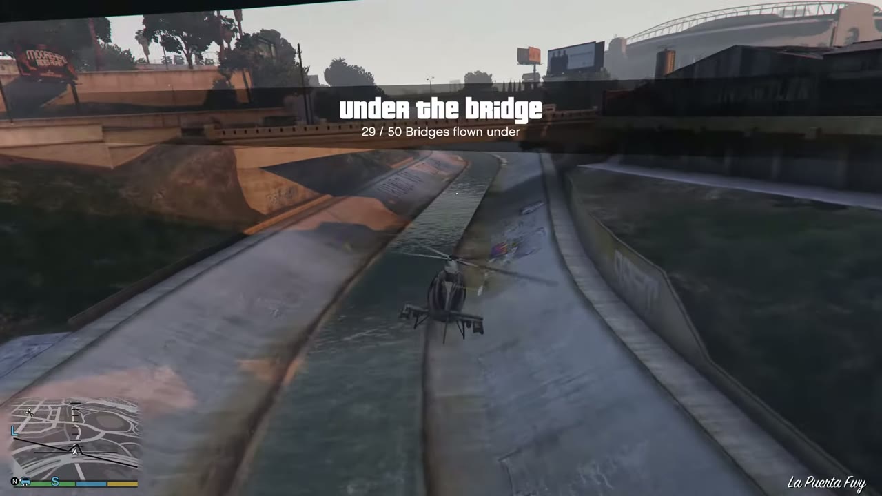 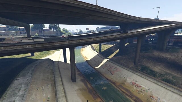 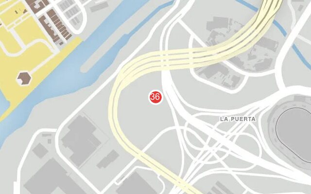 |
|
| 37 | La Puerta | Road bridge just beyond the freeway. | 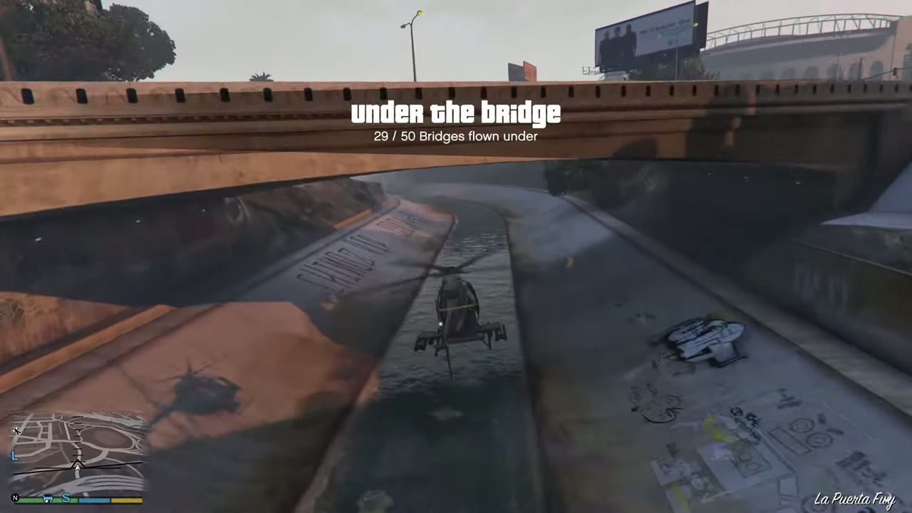 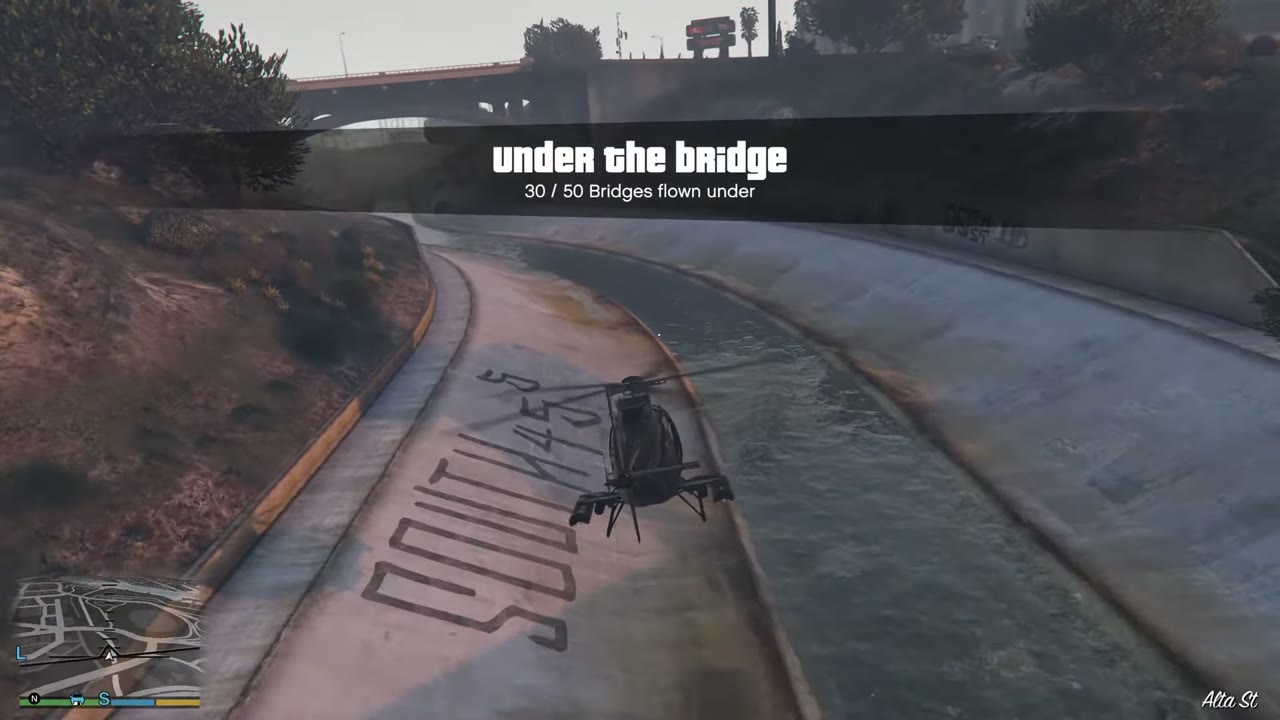 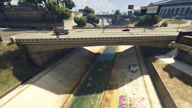 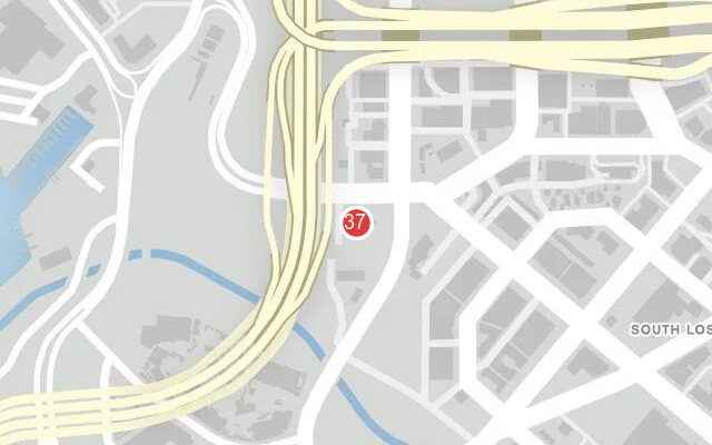 |
|
| 38 | Maze Bank Arena | Road bridge alongside the arena. | 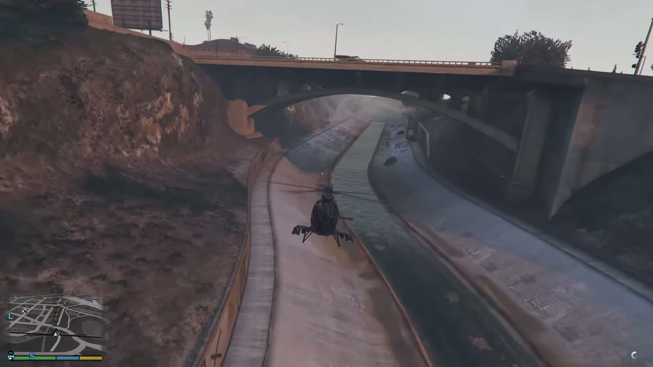 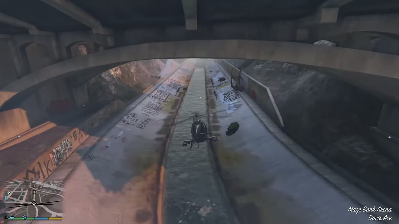 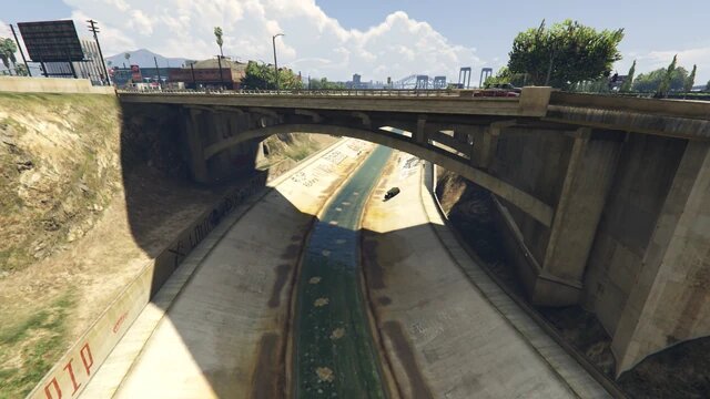 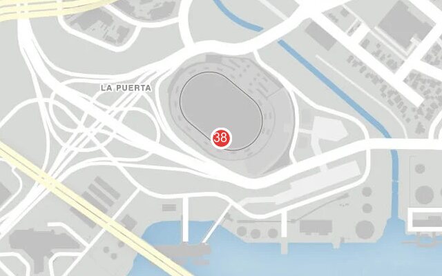 |
|
| 39 | Banning | Last canal crossing before the port, east of the arena. | 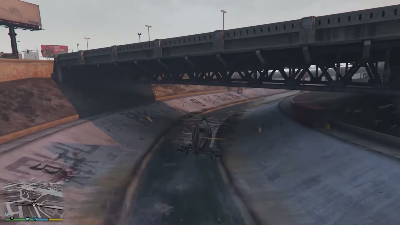 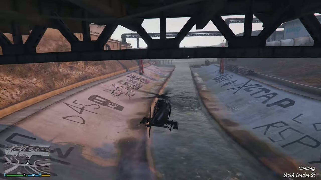 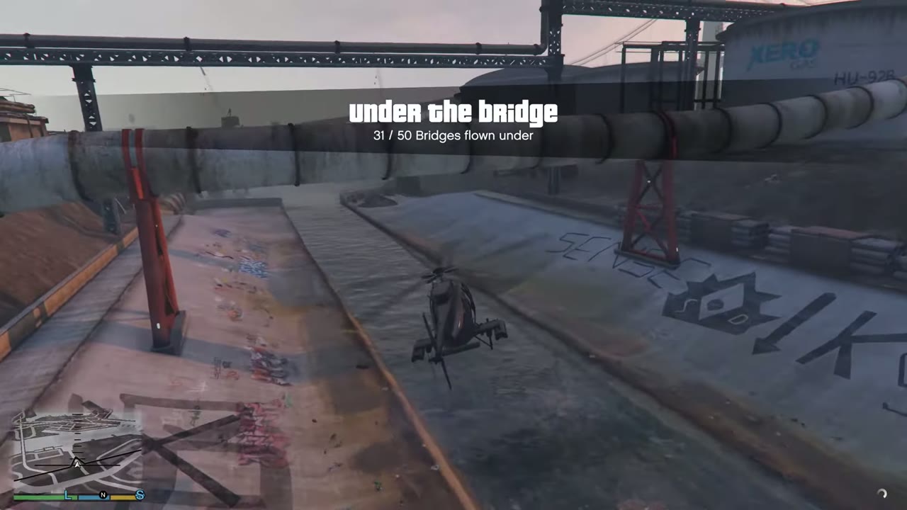 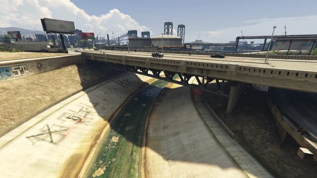 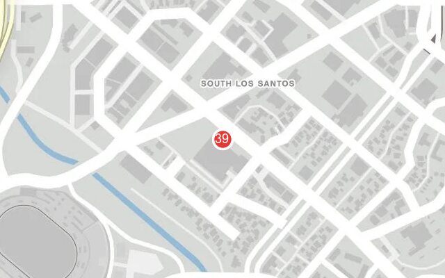 |
|
| 40 | Banham Canyon | Footbridge across the coast road south of Chumash. Mind the traffic. | 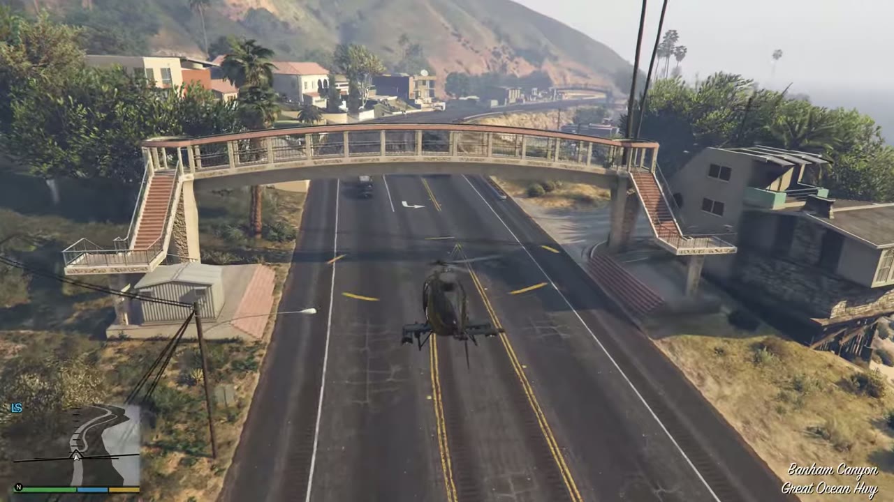 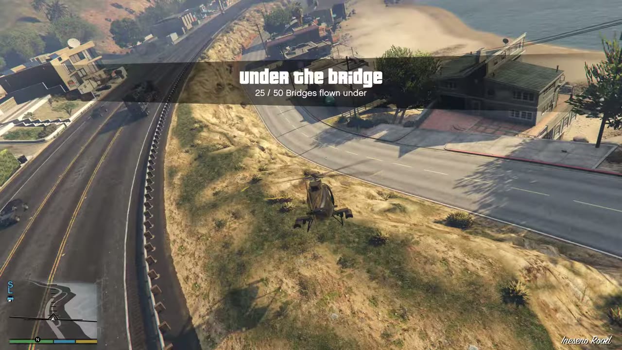 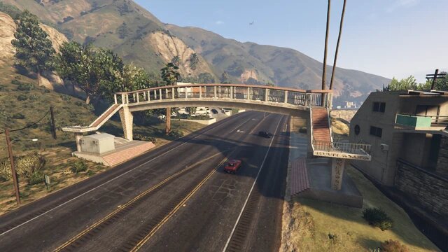 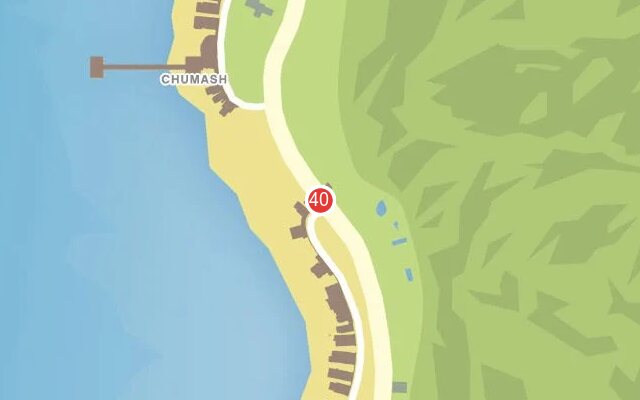 |
|
| 41 | Lago Zancudo | Tight road bridge above a rocky creek. | 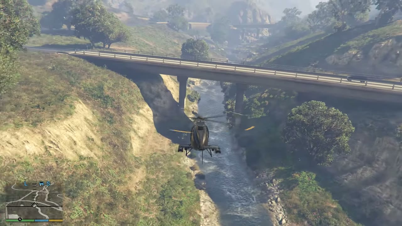 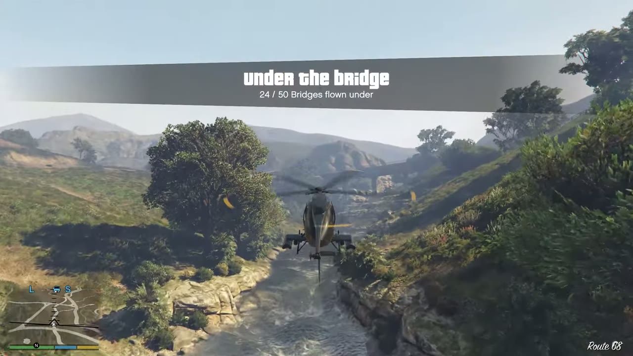 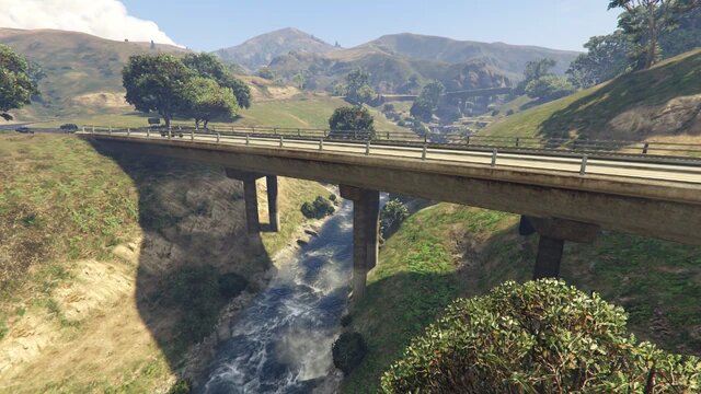 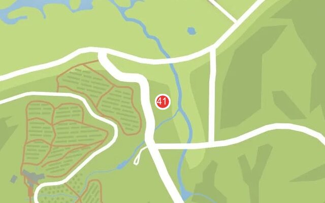 |
|
| 42 | Tataviam Mountains | Freeway bridge over the exit road by the wind farm. Pairs with no. 43. | 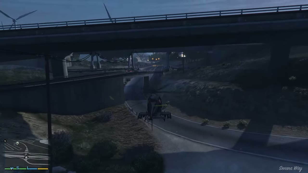 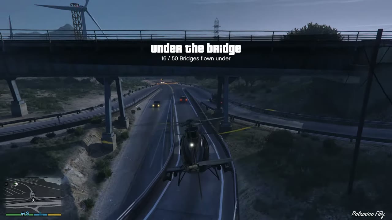 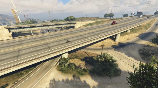 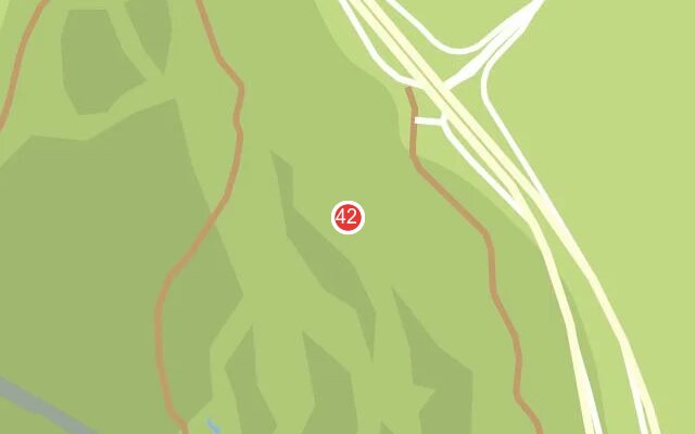 |
|
| 43 | Tataviam Mountains | Second bridge on that exit road, right next to no. 42. | 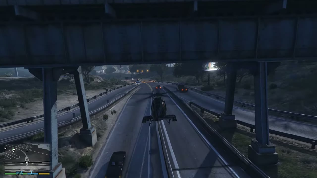 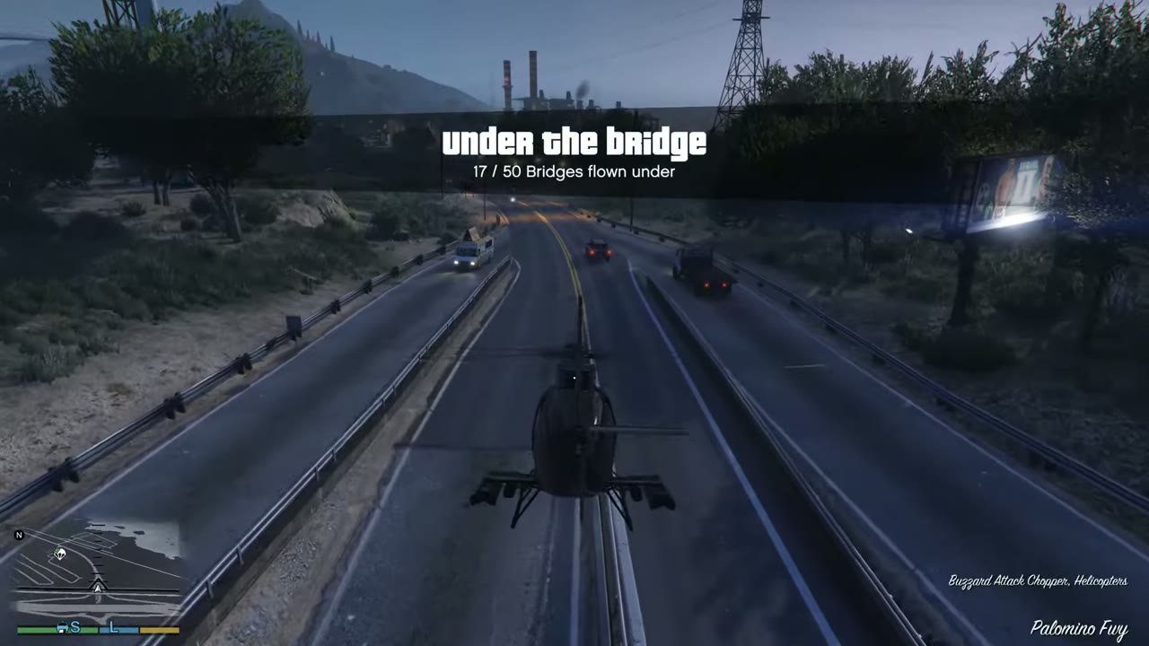 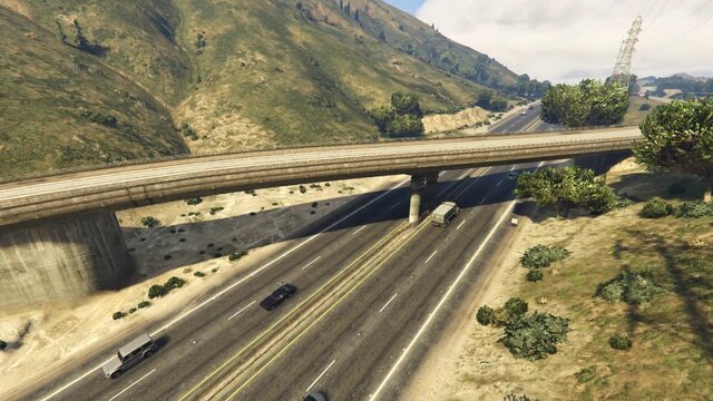 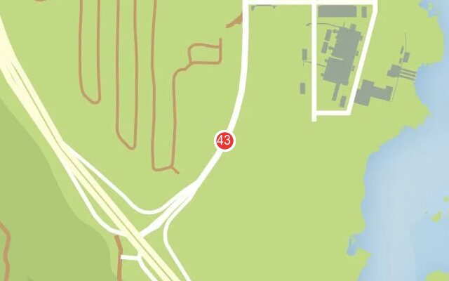 |
|
| 44 | Grand Senora Desert | Highway junction. Pass beneath the upper road. | 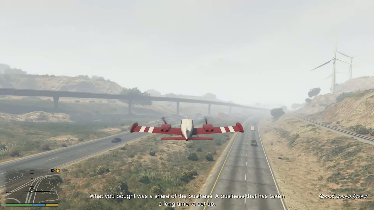 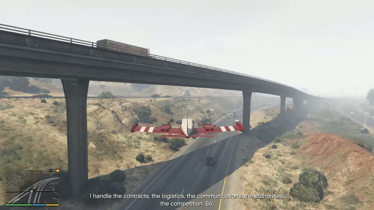 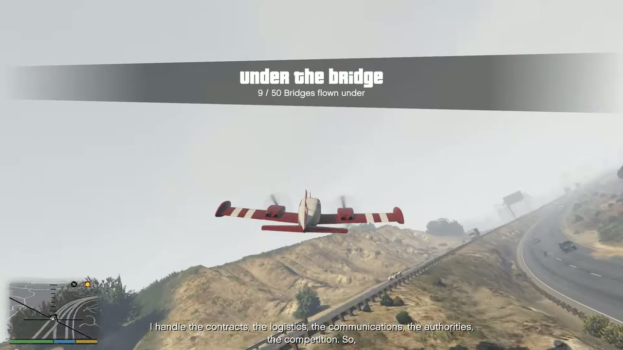 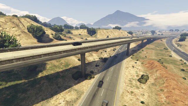 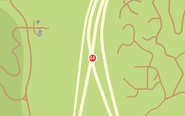 |
|
| 45 | Grand Senora Desert | Road bridge between the freeway ramps. Mind the traffic. | 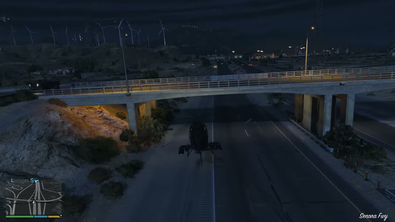 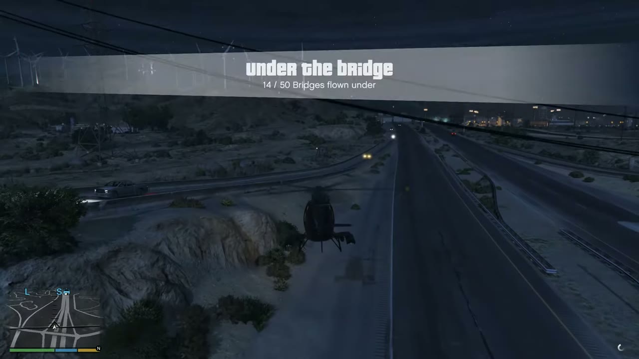 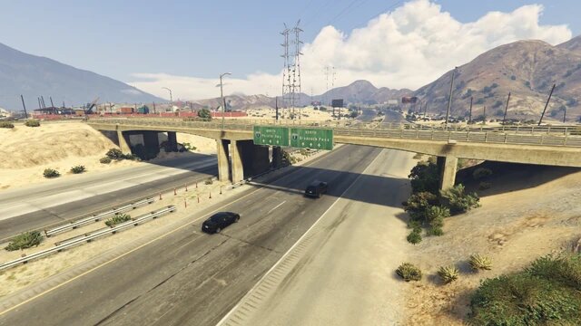 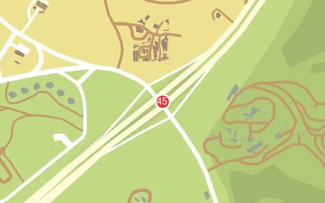 |
|
| 46 | San Chianski Range | Freeway bridge over the canal and road, near no. 20. | 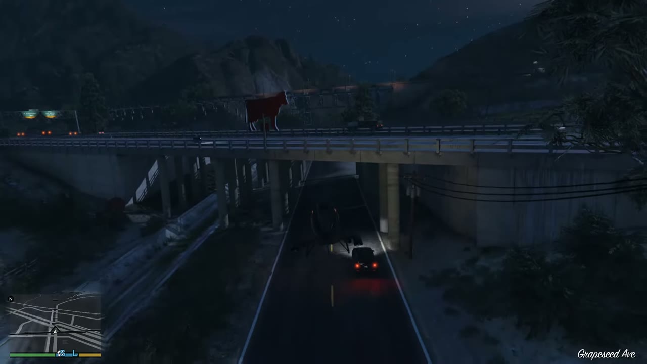 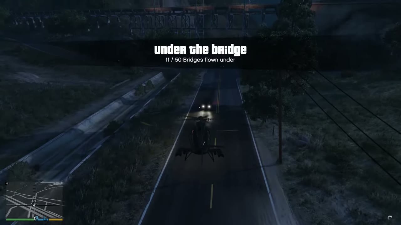 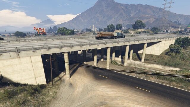 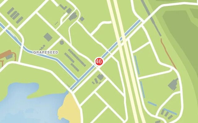 |
|
| 47 | Chiliad Wilderness | Small road bridge over a rocky gap above Cassidy Creek. | 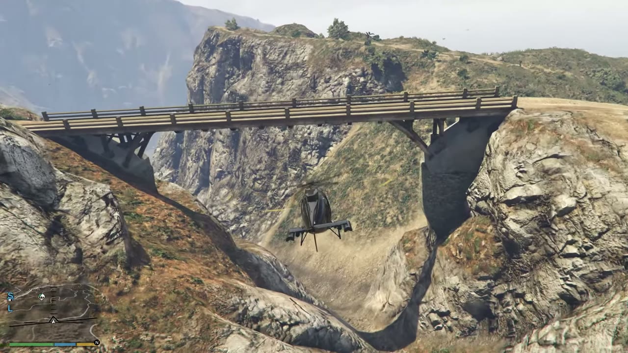 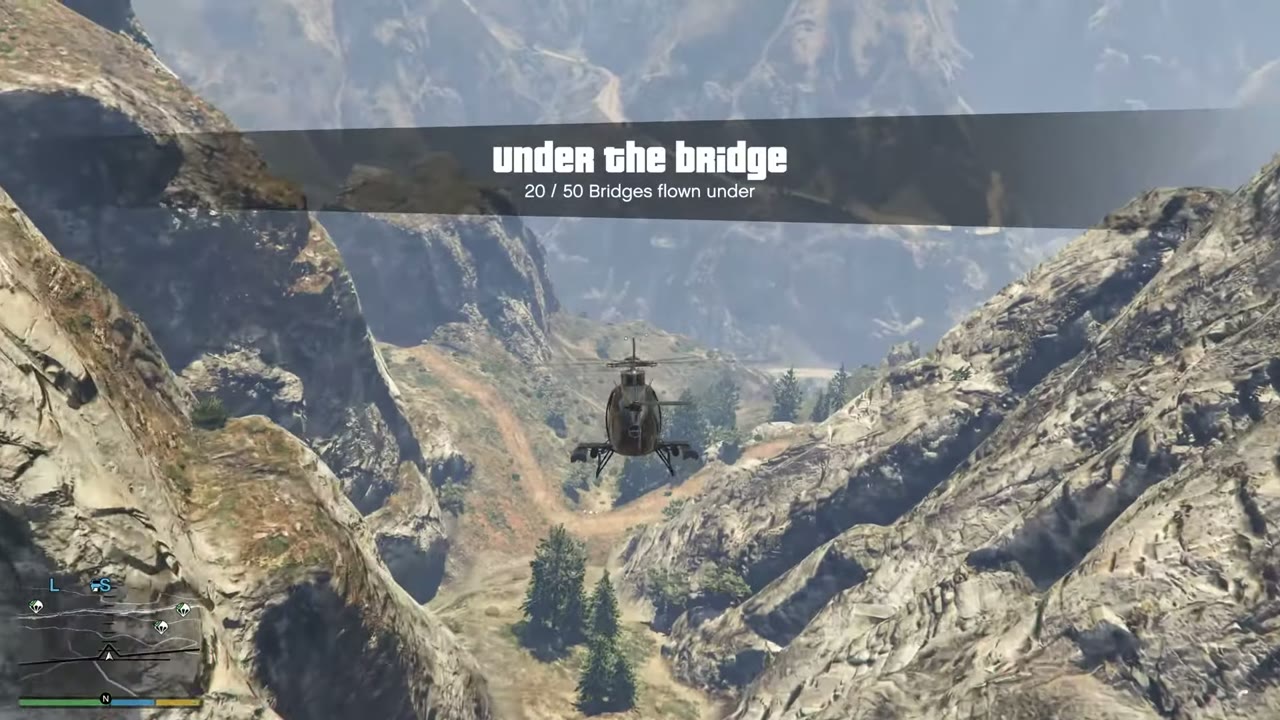 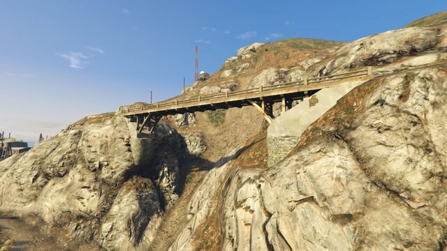 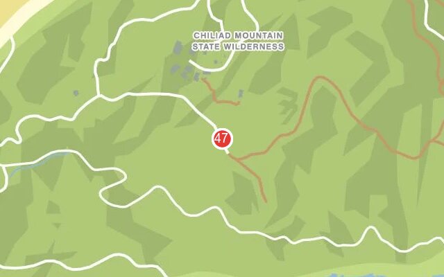 |
|
| 48 | Murrieta Heights | Freeway overpass, second of a group of three. Watch for lamp posts. | 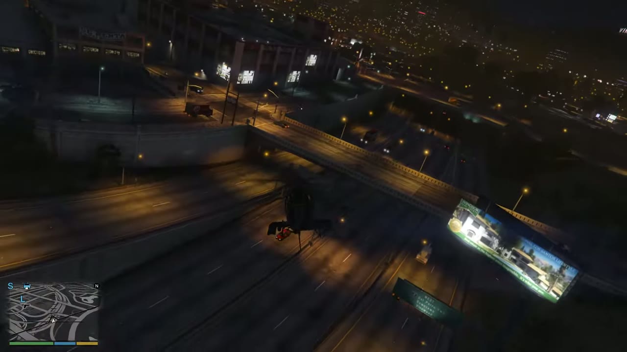 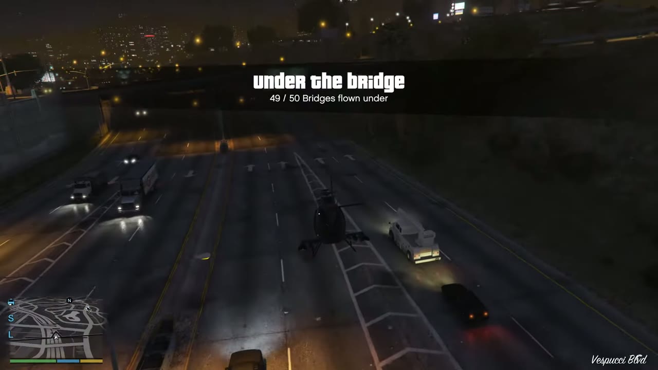 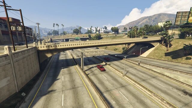 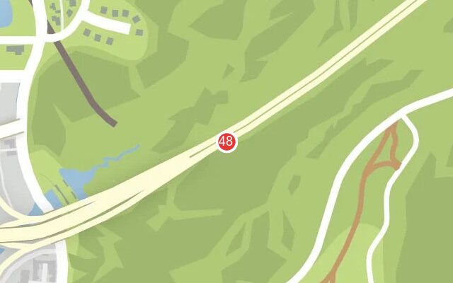 |
|
| 49 | Murrieta Heights | Freeway overpass. Start here when flying south. | 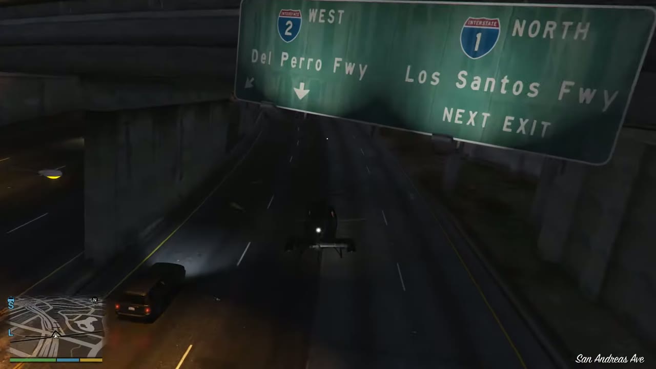 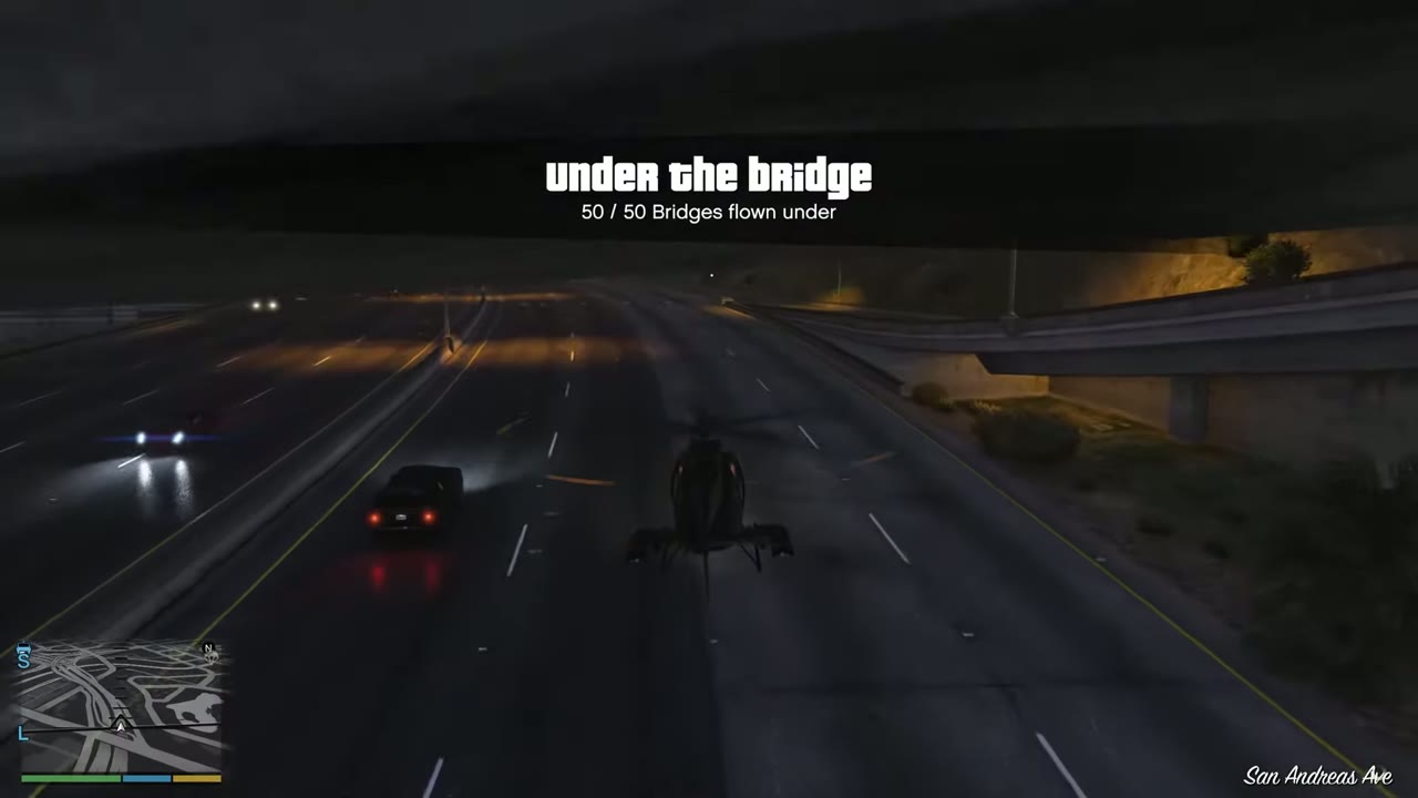 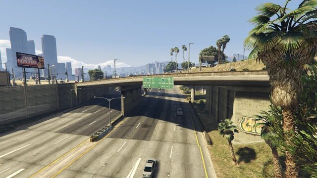 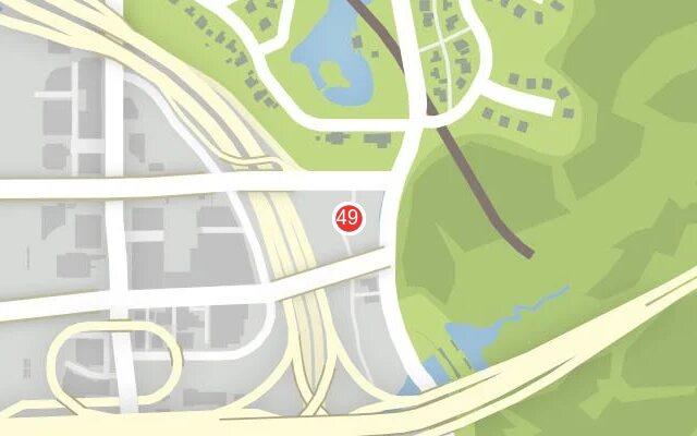 |
|
| 50 | Murrieta Heights | Long overpass at the interchange. Finish the group of three here. | 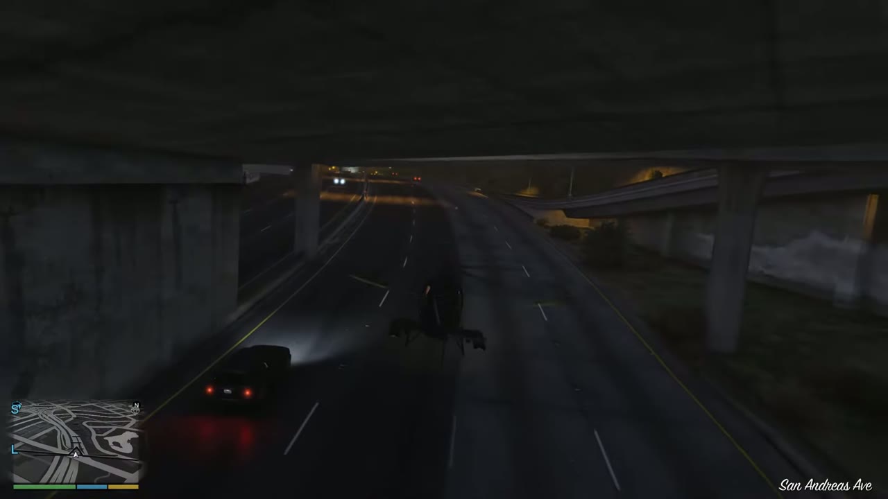 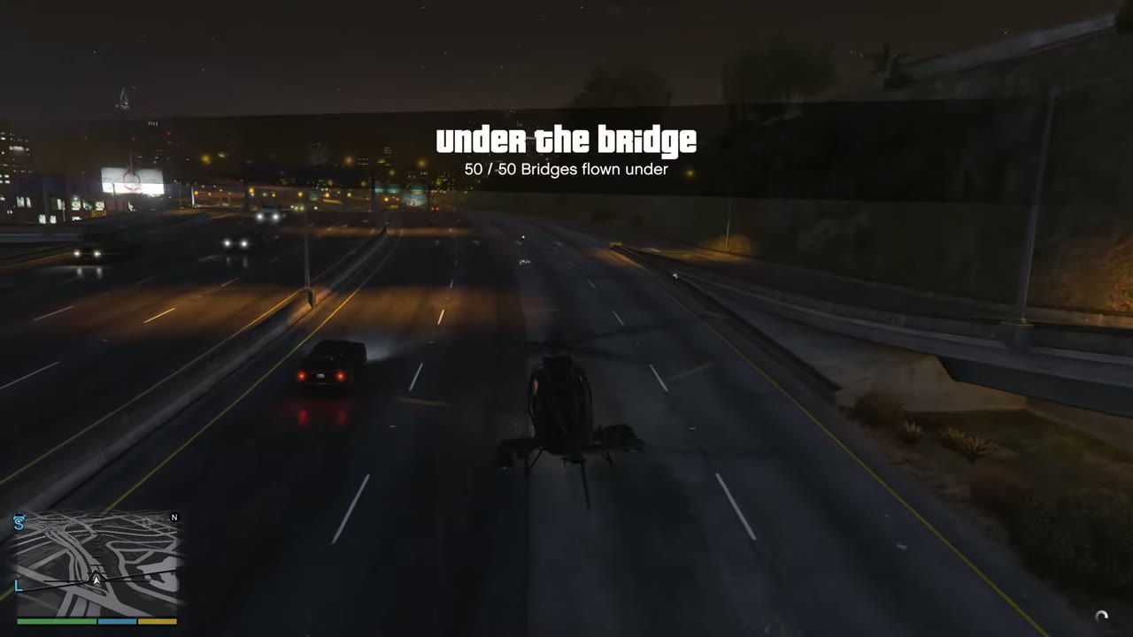 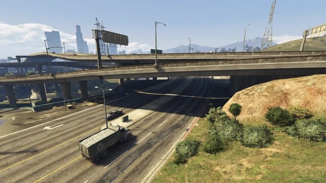 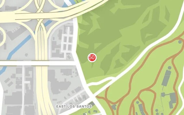 |